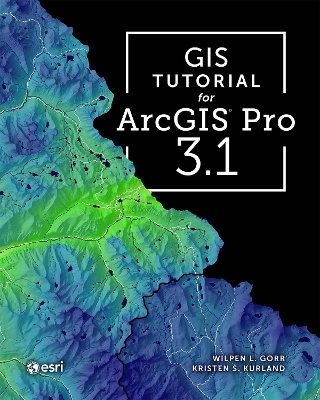
GIS Tutorial for ArcGIS Pro 3.1
Seiten
2023
|
Fifth edition
ESRI Press (Verlag)
978-1-58948-739-0 (ISBN)
ESRI Press (Verlag)
978-1-58948-739-0 (ISBN)
Zu diesem Artikel existiert eine Nachauflage
Revised and streamlined for learning the latest ArcGIS® Pro tools and workflows, GIS Tutorial for ArcGIS Pro 3.1 is the book of choice for classrooms and self-learners.
This classic ArcGIS® exercise book has been revised and streamlined to help you learn the latest ArcGIS Pro tools and workflows.
GIS Tutorial for ArcGIS Pro 3.1 is the book of choice for classrooms and self-learners seeking to develop their expertise with Esri’s premier desktop geographic information system (GIS) technology—no prior experience is necessary.
This fifth edition, revised for ArcGIS Pro 3.1, features new datasets, exercises, and instructional text guiding you step by step through the latest tools and workflows. The book explains core skills through progressive learning, and its examples use current, real-world scenarios as you learn to make maps and find, create, and analyze spatial data while using ArcGIS Pro and ArcGIS Online.
You will also:
share your work in ArcGIS StoryMaps℠ and visualize your data in ArcGIS Dashboards
create simple expressions in SQL and Python
learn how to use street networks for routing
learn how to analyze satellite imagery to provide intelligence
learn to turn maps into animations
Both authors, Carnegie Mellon educators Kristen Kurland and Wil Gorr, integrate methods from their own teaching experiences into this book and their other books from Esri Press, including the GIS Tutorial 1–3 series, GIS Tutorial for Crime Analysis, and GIS Tutorial for Health. Downloadable video lectures and teaching slides that complement this book are also available.
Wilpen L. Gorr is emeritus professor of public policy and management information systems at the School of Public Policy and Management, H. John Heinz III College, Carnegie Mellon University, where he taught and researched GIS applications. He was also chairman of the school’s Master of Science in Public Policy and Management program and editor of the International Journal of Forecasting. Kristen S. Kurland is a Teaching Professor of Architecture, Information Systems, and Public Policy at the H. John Heinz III College and School of Architecture, Carnegie Mellon University, where she teaches GIS, building information modeling, computer-aided design, 3D visualization, infrastructure management, and enterprise data analytics.
| Erscheinungsdatum | 26.09.2023 |
|---|---|
| Reihe/Serie | GIS Tutorial |
| Zusatzinfo | Illustrations |
| Verlagsort | Redlands |
| Sprache | englisch |
| Maße | 203 x 254 mm |
| Gewicht | 816 g |
| Themenwelt | Mathematik / Informatik ► Informatik ► Datenbanken |
| Informatik ► Software Entwicklung ► User Interfaces (HCI) | |
| Mathematik / Informatik ► Informatik ► Theorie / Studium | |
| Naturwissenschaften ► Geowissenschaften ► Geografie / Kartografie | |
| Technik | |
| ISBN-10 | 1-58948-739-7 / 1589487397 |
| ISBN-13 | 978-1-58948-739-0 / 9781589487390 |
| Zustand | Neuware |
| Informationen gemäß Produktsicherheitsverordnung (GPSR) | |
| Haben Sie eine Frage zum Produkt? |
Mehr entdecken
aus dem Bereich
aus dem Bereich
Aus- und Weiterbildung nach iSAQB-Standard zum Certified Professional …
Buch | Hardcover (2023)
dpunkt Verlag
34,90 €
Mit traditionellen, aktuellen und zukünftigen Erfolgsfaktoren
Buch | Softcover (2018)
Franz Vahlen (Verlag)
29,80 €
Wissensverarbeitung - Neuronale Netze
Buch | Hardcover (2023)
Carl Hanser (Verlag)
34,99 €


