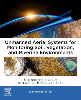
Unmanned Aerial Systems for Monitoring Soil, Vegetation, and Riverine Environments
Elsevier - Health Sciences Division (Verlag)
978-0-323-85283-8 (ISBN)
Salvatore Manfreda is Full Professor of Water Management and Hydrology at the University of Naples Federico II, Chair of the COST Action Harmonious and Scientific Coordinator of the Flood Forecasting System of the Civil Protection of the Basilicata Region. He has broad interest on distributed modeling, flood prediction, stochastic processes in hydrology, soil moisture process, delineation of flood prone areas, vegetation patterns and UAS-based monitoring. Eyal Ben-Dor is a full professor at the Tel Aviv University (TAU) and was the chair of the Geography and Human Environment Department at Tel-Aviv University from 2005-2009 and again from 2012-2015. Currently he is serving as the head of the remote sensing laboratory (RSL) within this department and a GEO principle of Israel under the Israel Space Agency appointment and mandate. He has more than 24 years’ experience in remote sensing of the Earth, with special emphasis on the Hyperspectral Remote Sensing technology (HRS) and soil spectroscopy.
Introduction
Section 1 - General introduction on the use of UAS for environmental monitoring • Remote sensing of the environment using unmanned aerial systems • Protocols for UAS-based observation • Using structure-from-motion workflows for 3D mapping and remote sensing
Section 2 - Vegetation monitoring • Vegetation mapping and monitoring by unmanned aerial systems (UAS)—current state and perspectives • Monitoring agricultural ecosystems
Section 3 - Soil Mapping • Mapping soil properties for unmanned aerial system based environmental monitoring • Soil moisture monitoring using unmanned aerial system
Section 4 - River Monitoring • Geometric correction and stabilization of images collected by UASs in river monitoring • River flow monitoring with unmanned aerial system • Monitoring river channel dynamics by Unmanned Aerial Systems
Section 5 - Tools and datasets • Tools and datasets for unmanned aerial system applications
| Erscheinungsdatum | 27.01.2023 |
|---|---|
| Reihe/Serie | Earth Observation |
| Zusatzinfo | Approx. 260 illustrations (260 in full color); Illustrations |
| Verlagsort | Philadelphia |
| Sprache | englisch |
| Maße | 191 x 235 mm |
| Gewicht | 1000 g |
| Themenwelt | Naturwissenschaften ► Biologie ► Botanik |
| Naturwissenschaften ► Biologie ► Ökologie / Naturschutz | |
| Naturwissenschaften ► Geowissenschaften ► Geologie | |
| Technik ► Fahrzeugbau / Schiffbau | |
| Technik ► Luft- / Raumfahrttechnik | |
| ISBN-10 | 0-323-85283-1 / 0323852831 |
| ISBN-13 | 978-0-323-85283-8 / 9780323852838 |
| Zustand | Neuware |
| Informationen gemäß Produktsicherheitsverordnung (GPSR) | |
| Haben Sie eine Frage zum Produkt? |
aus dem Bereich


