The Thames Path
Cicerone Press (Verlag)
978-1-85284-829-3 (ISBN)
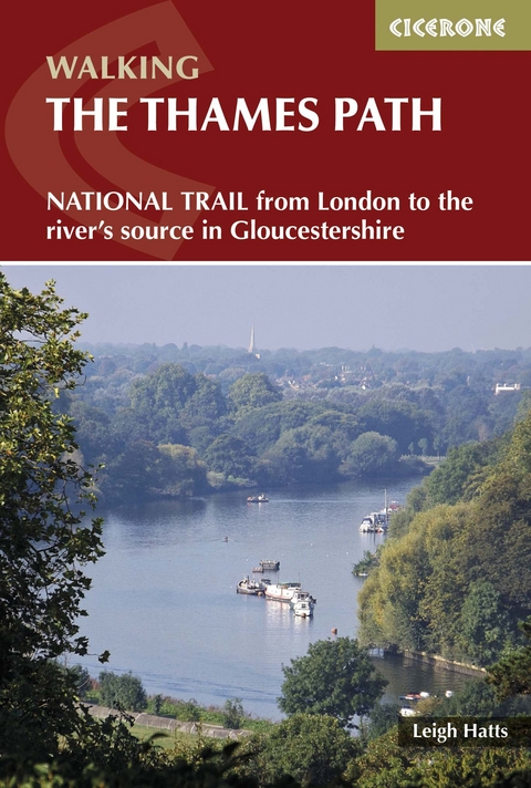
A guidebook to walking the Thames Path, a 180-mile National Trail from the Thames Barrier to the river's source in near Cirencester, passing from central London through Windsor, Henley, and Oxford, and rural countryside. Described in 20 sections, of between 4 and 16 miles (6.5-32km), it is an mainly flat route with good access by public transport and typically takes two weeks to walk. On its way it passes historic sites such as Greenwich, Kew Gardens, Hampton Court, Runnymede, Windsor Castle and Oxford.
This guidebook features complete OS 1:50,000 scale mapping of the route and comprehensive information about accommodation, facilities, refreshments and transport links for each stage of the route. It is crammed with fascinating details about the places and features passed along the way. A separate pocket-sized map booklet is also included showing the full route on 1:25,000 scale OS maps, providing all the mapping needed to complete the trail.
The Thames Path is an easy riverside walk that discovers the constantly changing character of the River Thames.
Leigh Hatts has been walking the Thames towpath and exploring the river and Docklands since 1981, when he worked on the feasibility study that resulted in the decision to establish the route as a National Trail. He worked as a reporter with the walker's magazine TGO and as arts correspondent of the Catholic Herald. He is co-founder of Bankside Press.
Overview map
Route summary table
Map key
Introduction
Towpath to National Trail
The Path today
Wildlife
Looking after the river
Accommodation and transport
Maps
Safety
Using this guide
The Thames Path
Stage 1 Thames Barrier to Tower Bridge
Stage 2 Tower Bridge to Putney
Stage 3 Putney to Kingston
Stage 4 Kingston to Chertsey
Stage 5 Chertsey to Staines
Stage 6 Staines to Windsor
Stage 7 Windsor to Maidenhead
Stage 8 Maidenhead to Marlow
Stage 9 Marlow to Henley
Stage 10 Henley to Reading
Stage 11 Reading to Pangbourne
Stage 12 Pangbourne to Goring
Stage 13 Goring to Wallingford
Stage 14 Wallingford to Dorchester
Stage 15 Dorchester to Abingdon
Stage 16 Abingdon to Oxford
Stage 17 Oxford to Newbridge
Stage 18 Newbridge to Lechlade
Stage 19 Lechlade to Cricklade
Stage 20 Cricklade to Source
Appendix A Optional Prelude: Erith to the Thames Barrier
Appendix B Further reading
| Erscheint lt. Verlag | 13.5.2021 |
|---|---|
| Reihe/Serie | Cicerone guidebooks |
| Zusatzinfo | 57 colour photos and 30 maps |
| Verlagsort | Kendal |
| Sprache | englisch |
| Maße | 116 x 172 mm |
| Gewicht | 390 g |
| Themenwelt | Sachbuch/Ratgeber ► Sport |
| Reiseführer ► Europa ► Großbritannien | |
| Reisen ► Sport- / Aktivreisen ► Europa | |
| ISBN-10 | 1-85284-829-4 / 1852848294 |
| ISBN-13 | 978-1-85284-829-3 / 9781852848293 |
| Zustand | Neuware |
| Haben Sie eine Frage zum Produkt? |
aus dem Bereich


