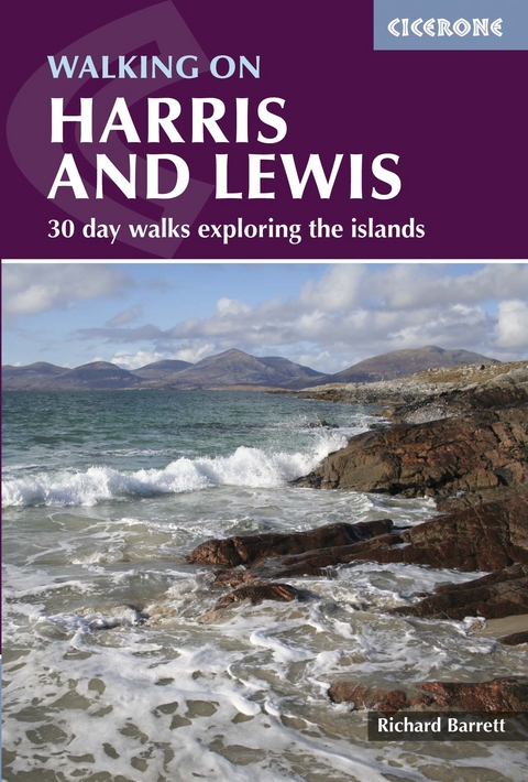
Walking on Harris and Lewis
30 day walks exploring the islands
Seiten
2020
|
2nd Revised edition
Cicerone Press (Verlag)
978-1-85284-818-7 (ISBN)
Cicerone Press (Verlag)
978-1-85284-818-7 (ISBN)
- Titel erscheint in neuer Auflage
- Artikel merken
Zu diesem Artikel existiert eine Nachauflage
Guidebook to 30 day walks on the Isles of Harris and Lewis, in Scotland's Outer Hebrides. Walks range from 2 to 14 miles; combining all-day routes in the high hills to short, lower-level walks that visit the world-famous heritage sites. Routes include the An Cliseam horseshoe, the stone circles of Calanais and the Butt of Lewis lighthouse.
This guidebook describes 30 day walks all over the Isles of Harris and Lewis, in the Outer Hebrides. The walks range from 2 and 14 miles (4 to 22km) in length, and are easily accessible from Stornaway or Tarbet.
Routes vary from short strolls to long wilderness hikes, high-level and low-level, and include the An Cliseam horseshoe, visits to ancient historic monuments like the stone circles of Calanais and the famous Butt of Lewis lighthouse, all illustrated with OS 1:50,000 maps and dramatic photography.
The routes take in most of the main summits as well as historical and geographical places of interest. A list of all the Marilyns (British hills of any height with a drop of at least 150m on all sides) on Harris, Lewis and St Kilda is included at the back. Tips are also included about walking on St Kilda, Berneray, Taransay, The Shiant Islands and The Flannan Isles, along with a short Gaelic glossary and route summary table, and advice on practicalities to make the most out of any walking trip on Harris and Lewis.
Richard Barrett spent his working life as a professional marketer, but still found time for climbing, winter mountaineering and sea kayaking. He first visited the Harris hills as a teenager and was a regular visitor for years. He has now relocated to Màraig in North Harris, where he and his wife run a guest house.
| Erscheint lt. Verlag | 13.8.2020 |
|---|---|
| Reihe/Serie | Cicerone guidebooks |
| Zusatzinfo | 89 colour photos, 32 OS map extracts |
| Verlagsort | Kendal |
| Sprache | englisch |
| Maße | 116 x 172 mm |
| Gewicht | 220 g |
| Themenwelt | Sachbuch/Ratgeber ► Sport |
| Reisen ► Sport- / Aktivreisen ► Europa | |
| ISBN-10 | 1-85284-818-9 / 1852848189 |
| ISBN-13 | 978-1-85284-818-7 / 9781852848187 |
| Zustand | Neuware |
| Informationen gemäß Produktsicherheitsverordnung (GPSR) | |
| Haben Sie eine Frage zum Produkt? |
Mehr entdecken
aus dem Bereich
aus dem Bereich
