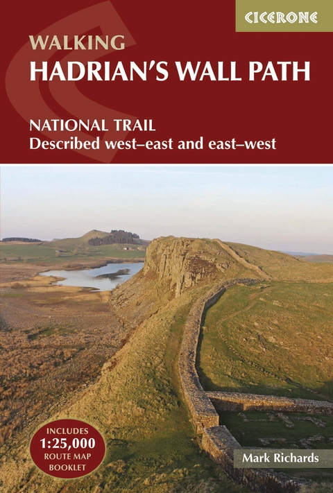
Hadrian's Wall Path
Cicerone Press (Verlag)
978-1-85284-557-5 (ISBN)
The essential guidebook to walking the 84-mile Hadrian's Wall Path. One of the UK's most visited National Trails, it runs the length of the Roman Wall from Bowness-on-Solway in Cumbria to Wallsend, Newcastle.
The trail is presented here in 10 stages, with suggestions for five and eight-day itineraries. It is suitable for beginners, although a reasonable level of fitness is required if doing it as a multi-day walk. The route is described both west to east and east to west, and the guidebook also features extensions to Maryport on the far west coast of Cumbria and to South Shields on the east coast.
This full-colour guidebook contains a wealth of information on the history of the Wall, and a range of practical information for walkers, from accommodation and itinerary planning, to details on public transport and refreshments. A separate map booklet of 1:25,000 scale OS maps shows the full route. Clear step-by-step route descriptions in the guide are illustrated by 1:100,000 OS map extracts. The route description links together with the map booklet at each stage along the way, and the compact format is conveniently sized for slipping into a jacket pocket or the top of a rucksack.
In 1980 Mark Richards began his three-part guide to the Peak District for Cicerone Press, and in 1987, with Chris Wright, wrote a guide to walking around the former county of Westmorland. He now lives in Cumbria and, after 14 years' dedicated research, has completed his series of Lakeland Fellranger guides covering the entire region.
Map key
Overview map
Introduction
Hadrian's Wall: inspired and inspiring
From national border to National Trail
Preserving the heritage
Taking care of the Trail
Tackling a coast-to-coast walk
Start and finish points
Accommodation
Choosing an itinerary
Day-walking the Trail
When to go
Be prepared
Maps
Using this guide
All about the Wall
Building the Wall
Divide and rule
Pilfering and preservation
The Wall today
Hadrian's Coast
Maryport to Bowness-on-Solway
Hadrian's Wall Path
Section 1 Bowness-on-Solway to Burgh-by-Sands
Section 2 Burgh-by-Sands to Carlisle
Section 3 Carlisle to Newtown
Section 4 Newtown to Birdoswald
Section 5 Birdoswald to Steel Rigg
Section 6 Steel Rigg to Brocolitia
Section 7 Brocolitia to Portgate
Section 8 Portgate to Heddon-on-the-Wall
Section 9 Heddon-on-the-Wall to Newcastle Quayside
Section 10 Newcastle Quayside to South Shields
Appendix A Route summary table
Appendix B Stamping stations
Appendix C Accommodation section-by-section
Appendix D Walking links to the Path from nearby railway stations
Appendix E Bus and taxi services
Appendix F Useful contacts
Appendix G Further reading
| Erscheint lt. Verlag | 25.1.2022 |
|---|---|
| Reihe/Serie | Cicerone guidebooks |
| Zusatzinfo | 107 photographs 16 route maps 2 public transport maps |
| Verlagsort | Kendal |
| Sprache | englisch |
| Maße | 116 x 172 mm |
| Gewicht | 350 g |
| Themenwelt | Sachbuch/Ratgeber ► Sport |
| Reisen ► Sport- / Aktivreisen ► Europa | |
| ISBN-10 | 1-85284-557-0 / 1852845570 |
| ISBN-13 | 978-1-85284-557-5 / 9781852845575 |
| Zustand | Neuware |
| Haben Sie eine Frage zum Produkt? |
aus dem Bereich
