


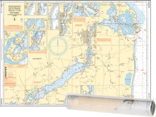
Map Inland Waterways of Scotland
Seiten
2013
Imray, Laurie, Norie & Wilson Ltd (Verlag)
978-1-84623-522-1 (ISBN)
Imray, Laurie, Norie & Wilson Ltd (Verlag)
978-1-84623-522-1 (ISBN)
The second edition of Imray's Map of the Inland Waterways of Scotland has been updated. Contact details for the new Scottish Waterways body that replaces British Waterways have been added. The descriptive text has been improved with the addition of more photos. 'Imray are synonymous with nautical maps...and Jane Cumberlidge is a much respected writer on canals throughout Europe. Together they make a formidable pairing and this excellent map reflects all their combined knowledge and expertise. Map is perhaps something of a misnomer, for a comprehensive text is provided, with superb accommpanying photos featuring the Caledonian, Crinan, Forth & Clyde and Union canals. This second edition has been brought right up to date with contact details for Scottish Canals, the new body that took over from British Waterways Scotland in July last year." Keith Goss, Waterways World July 2013.
| Erscheint lt. Verlag | 1.2.2013 |
|---|---|
| Verlagsort | Huntingdon |
| Sprache | englisch |
| Maße | 210 x 295 mm |
| Themenwelt | Sachbuch/Ratgeber ► Sport ► Segeln / Tauchen / Wassersport |
| Naturwissenschaften ► Geowissenschaften ► Geografie / Kartografie | |
| Technik ► Fahrzeugbau / Schiffbau | |
| ISBN-10 | 1-84623-522-7 / 1846235227 |
| ISBN-13 | 978-1-84623-522-1 / 9781846235221 |
| Zustand | Neuware |
| Haben Sie eine Frage zum Produkt? |
Mehr entdecken
aus dem Bereich
aus dem Bereich
Karte/Kartografie (2024)
Delius Klasing (Verlag)
139,90 €
Karte/Kartografie (2024)
Delius Klasing (Verlag)
89,90 €