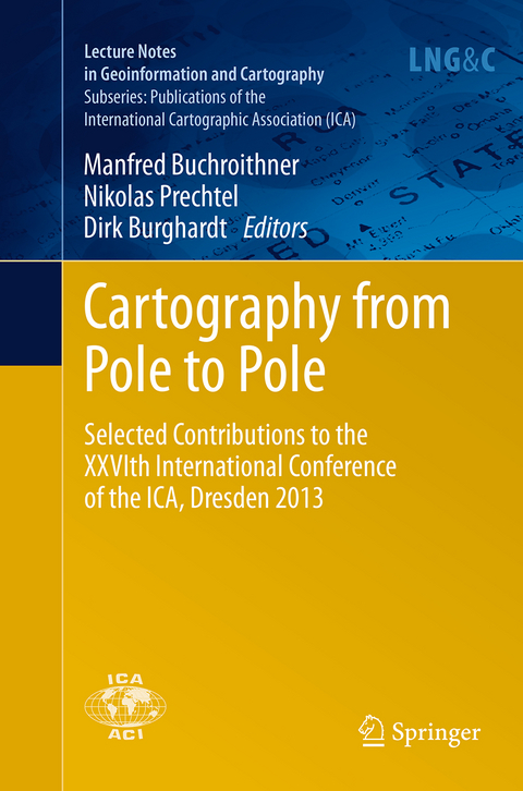
Cartography from Pole to Pole
Selected Contributions to the XXVIth International Conference of the ICA, Dresden 2013
Seiten
2016
|
1. Softcover reprint of the original 1st ed. 2014
Springer Berlin (Verlag)
978-3-662-52219-6 (ISBN)
Springer Berlin (Verlag)
978-3-662-52219-6 (ISBN)
These selected papers from the XXVIth Conference of the International Cartographic Association span the entire discipline, from questions of appropriate sources of geographic data to issues arising in the design and interactivity of cartographic products.
This volume comprehends a selection of papers presented during the 26 th International Cartographic Conference held in Dresden from the 26 th to the 30 th of August 2013. It covers many fields of relevant Mapping and GIS research subjects, such as cartographic applications, cartographic tools, generalisation and update Propagation, higher dimensional visualisation and augmented reality, planetary mapping issues, cartography and environmental modelling, user generated content and spatial data infrastructure, use and usability as well as cartography and GIS in education.
This volume comprehends a selection of papers presented during the 26 th International Cartographic Conference held in Dresden from the 26 th to the 30 th of August 2013. It covers many fields of relevant Mapping and GIS research subjects, such as cartographic applications, cartographic tools, generalisation and update Propagation, higher dimensional visualisation and augmented reality, planetary mapping issues, cartography and environmental modelling, user generated content and spatial data infrastructure, use and usability as well as cartography and GIS in education.
Art and Cartography.- Atlases.- Cartography and Children.- Cartography in Early Warning and Crisis Management.- Cognitive Visualization.- Data Quality.- Digital Technologies in Cartographic Heritage.- Education and Training.- Generalization and Multiple Representation.- Geoinformation Infrastructures and Standards.- Geospatial Analysis And Modeling.- Geovizualisation.- Geoinformation for Sustainability.
| Erscheinungsdatum | 02.09.2016 |
|---|---|
| Reihe/Serie | Lecture Notes in Geoinformation and Cartography | Publications of the International Cartographic Association (ICA) |
| Zusatzinfo | XVII, 496 p. 224 illus., 164 illus. in color. |
| Verlagsort | Berlin |
| Sprache | englisch |
| Maße | 155 x 235 mm |
| Themenwelt | Mathematik / Informatik ► Informatik ► Netzwerke |
| Naturwissenschaften ► Geowissenschaften ► Geografie / Kartografie | |
| Schlagworte | Cartography • Computer networking and communications • Earth and Environmental Science • Geographical Information Systems/Cartography • Geographical information systems (GIS) and remote • Geoinformation • Information Perception • Information Systems and Communication Service • user interaction • Visualisation / Map Design |
| ISBN-10 | 3-662-52219-5 / 3662522195 |
| ISBN-13 | 978-3-662-52219-6 / 9783662522196 |
| Zustand | Neuware |
| Haben Sie eine Frage zum Produkt? |
Mehr entdecken
aus dem Bereich
aus dem Bereich
das umfassende Handbuch für den Einstieg in die Netzwerktechnik
Buch | Hardcover (2023)
Rheinwerk (Verlag)
29,90 €
das Praxisbuch für Admins und DevOps-Teams
Buch | Hardcover (2023)
Rheinwerk (Verlag)
39,90 €


