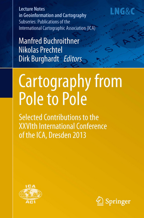
Cartography from Pole to Pole
Selected Contributions to the XXVIth International Conference of the ICA, Dresden 2013
Seiten
2013
|
2014
Springer Berlin (Verlag)
978-3-642-32617-2 (ISBN)
Springer Berlin (Verlag)
978-3-642-32617-2 (ISBN)
The International Cartographic Association (ICA) was founded in 1959 and organises biannual conferences, which usually attract more than 1000 attendees. No other publication or scientific series gives readers an equally comprehensive overview of the latest cartographic research and activities than the proceedings of these conferences. This book, which collects these proceedings, spans the whole scientific discipline, from questions of appropriate geo-data sources to various forms of processing geo-data, to an appropriate cartographic design and answers related to the user interaction with and perception of cartographic products. Moreover, the centuries-long tradition of cartography and its technical and design-related developments are reflected in various contributions. Cartography topics are highly relevant to society far beyond the academic world, as modern technologies generate an already vast and steadily increasing amount of geo-related data. Only a sensible and professional way of presenting these precious resources by using the expertise of cartographers will allow us to transform loads of data into useful and beneficial information.
Art and Cartography.- Atlases.- Cartography and Children.- Cartography in Early Warning and Crisis Management.- Cognitive Visualization.- Data Quality.- Digital Technologies in Cartographic Heritage.- Education and Training.- Generalization and Multiple Representation.- Geoinformation Infrastructures and Standards.- Geospatial Analysis And Modeling.- Geovizualisation.- Geoinformation for Sustainability.
| Erscheint lt. Verlag | 26.8.2013 |
|---|---|
| Reihe/Serie | Lecture Notes in Geoinformation and Cartography | Publications of the International Cartographic Association (ICA) |
| Zusatzinfo | XVII, 496 p. 224 illus., 164 illus. in color. |
| Verlagsort | Berlin |
| Sprache | englisch |
| Maße | 155 x 235 mm |
| Gewicht | 944 g |
| Themenwelt | Mathematik / Informatik ► Informatik ► Netzwerke |
| Naturwissenschaften ► Geowissenschaften ► Geografie / Kartografie | |
| Schlagworte | Cartography • Geoinformation • Information Perception • Kartographie • user interaction • Visualisation / Map Design |
| ISBN-10 | 3-642-32617-X / 364232617X |
| ISBN-13 | 978-3-642-32617-2 / 9783642326172 |
| Zustand | Neuware |
| Haben Sie eine Frage zum Produkt? |
Mehr entdecken
aus dem Bereich
aus dem Bereich
das umfassende Handbuch für den Einstieg in die Netzwerktechnik
Buch | Hardcover (2023)
Rheinwerk (Verlag)
29,90 €
das Praxisbuch für Admins und DevOps-Teams
Buch | Hardcover (2023)
Rheinwerk (Verlag)
39,90 €


