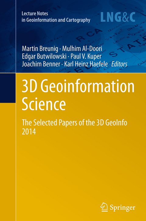
3D Geoinformation Science
Springer International Publishing (Verlag)
978-3-319-38488-7 (ISBN)
Improving the Consistency of Multi-LOD Citygml Datasets by Removing Redundancy.- Generalization of 3D IFC Building Models.- Modeling and Managing Topology for 3-D Track Planning Applications.- Multi-Resolution Models: Recent Progress in Coupling 3D Geometry to Environmental Numerical Simulation.- Crisp Clustering Algorithm for 3D Geospatial Vector Data Quantization.- A Hybrid Approach Integrating 3d City Models, Remotely Sensed Sar Data And Interval-Valued Fuzzy Soft Set Based Decision Making for Post Disaster Mapping of Urban Areas.- Change Detection in Citygml Documents.- Change Detection of Cities.- Advances in Structural Monitoring by an Integrated Analysis of Sensor Measurements and 3d Building Model.- Requirements on Building Models Enabling The Guidance In A Navigation Scenario Using Cognitive Concepts.- Context Aware Indoor Route Planning using Semantic 3d Building Models with Cloud Computing.- Exploring the Benefits of 3D city Models in the Field of Urban Particles Distribution Modelling - a Comparison of Model Results.- 3d Modelling with National Coverage: Bridging the Gap between Research and Practice.- Out-of-core Visualization of Classified 3D Point Clouds.-Modeling Visibility in 3d Space: A Qualitative Frame of Reference.
"The book 3D Geoinformation Science - The Selected Papers of the 3D GeoInfo 2014 is a good summary of current activity in 3D geoinformation, particularly as it relates to infrastructure and buildings. The collection of presentations in this book are focused on visualization within 3D concepts and the creation of 3D physical structures. ... For this reason readers will find this book highly informative, interesting and a good reference for understanding 3D Geoinformation." (Jeff Thurston, 3D Visualization World Magazine, March, 2015)
| Erscheinungsdatum | 03.08.2016 |
|---|---|
| Reihe/Serie | Lecture Notes in Geoinformation and Cartography |
| Zusatzinfo | VI, 258 p. 138 illus., 113 illus. in color. |
| Verlagsort | Cham |
| Sprache | englisch |
| Maße | 155 x 235 mm |
| Themenwelt | Mathematik / Informatik ► Informatik ► Datenbanken |
| Mathematik / Informatik ► Informatik ► Web / Internet | |
| Naturwissenschaften ► Geowissenschaften ► Geografie / Kartografie | |
| Schlagworte | 3D GeoInfo • 3d Geospatial Data Management • 3d Geospatial Data Modeling • Earth and Environmental Science • Geographical Information Systems/Cartography • Geographical information systems (GIS) and remote • Geoinformation Science • Geospatial Technologies • Information Retrieval • information systems applications (incl. internet) • Internet Searching • Spatial Data Infrastructures |
| ISBN-10 | 3-319-38488-0 / 3319384880 |
| ISBN-13 | 978-3-319-38488-7 / 9783319384887 |
| Zustand | Neuware |
| Haben Sie eine Frage zum Produkt? |
aus dem Bereich
