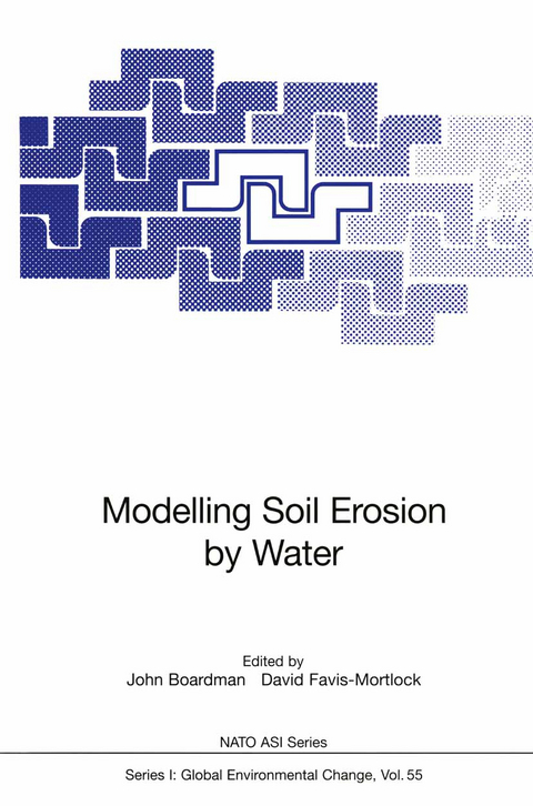
Modelling Soil Erosion by Water
Springer Berlin (Verlag)
978-3-642-63787-2 (ISBN)
TO THE MODEL EVALUATION 1. MODELLING SOIL EROSION BY WATER l 2 John Boardman and David Favis-Mortlock 1 School of Geography and Environmental Change Unit Mansfield Road University of Oxford Oxford OX1 3TB UK 2 Environmental Change Unit University of Oxford 5 South Parks Road Oxford OX1 3UB UK Introduction This volume is the Proceedings of the NATO Advanced Research Workshop 'Global Change: Modelling Soil Erosion by Water', which was held on II-14th September 1995, at the University of Oxford, UK. The meeting was also one of a series organised by the IGBP 1 GCTE Soil Erosion Network, which is a component of GCTE's Land Degradation Task (3.3.2) (Ingram et aI., 1996; Valentin, this volume). One aim of the GCTE Soil Erosion Network is to evaluate the suitability of existing soil erosion models for predicting the possible impacts of global change upon soil erosion. Due to the wide range of erosion models currently, in use or under development, it was decided to evaluate models in the following sequence Favis-Mortlock et al., 1996): - field-scale water erosion models - catchmenr-scale water erosion models - wind erosion models - models with a landscape-scale and larger focus. As part of this strategy, the first stage of the GCTE validation of field-scale erosion models was carried out at the Oxford NATO-ARW. I A list of Acronyms fonns Appendix A.
Sir John Boardman, geboren 1927, Studium am Magdalene College in Cambridge. Mehrere Jahre er in Griechenland, u. a. drei davon als 2. Direktor der British School of Archaeology in Athen. Er leitete Ausgrabungen in Smyrna, auf Chios und Kreta sowie in Libyen. Danach Vier Jahre stellvertretender Kustos am Ashmolean Museum, Oxford, anschließend Dozent für das Fach Klassische Archäologie sowie Fellow des Merton College. Er ist Lincoln Professor (seit 1995 emeritus) für Klassische Archäologie und Kunst in Oxford sowie Fellow of the British Academy.
Section 1. Background to the Model Evaluation.- 1. Modelling Soil Erosion by Water.- 2. Towards an Improved Predictive Capability for Soil Erosion under Global Change.- 3. Modelling Soil Erosion in Real Landscapes: a Western European Perspective.- Section 2. Model Evaluation with Common Datasets.- 4. Evaluation of Plot Runoff and Erosion Forecasts using the CSEP and MEDRUSH Models.- 5. Evaluation of the Water Erosion Prediction Project (WEPP) Model for Hillslopes.- 6. GLEAMS Model Evaluation - Hydrology and Erosion Components.- 7. EUROSEM: an Evaluation with Single Event Data from the C5 Watershed, Oklahoma, USA.- 8. Comparison of Simulated and Observed Runoff and Soil Loss on Three Small United States Watersheds.- 9. Validation of Field-Scale Soil Erosion Models using Common Datasets.- Section 3. Model Evaluation with User-Supplied Datasets.- 10. Predicting Runoff in Semiarid Woodlands: Evaluation of the WEPP Model.- 11. Evaluation of Field-Scale Erosion Models on the UK South Downs.- Section 4. Modelling Issues.- 12. Modelling Across Scales: the MEDALUS Family of Models.- 13. Problems Regarding the Use of Soil Erosion Models.- 14. Cross-Scale Aspects of EPA Erosion Studies.- 15. Scale Issues and a Scale Transfer Method for Erosion Modelling.- 16. Infiltration for Soil Erosion Models: Some Temporal and Spatial Complications.- 17. Saturation Overland Flow on Loess Soils in the Netherlands.- 18. Incorporating. Crusting Processes in Erosion Models.- 19. The Role of Soil Aggregates in Soil Erosion Processes.- 20. Process-Based Approaches to Modelling Soil Erosion.- 21. Sensitivity of Sediment-Transport Equations to Errors in Hydraulic Models of Overland Flow.- 22. Gully Erosion: Importance and Model Implications.- 23. Field Data and Erosion Models.- 24. Effects ofAgricultural Land Use on Spatial and Temporal Distribution of Soil Erosion in Small Catchments: Implications for Modelling.- 25. Sensitivity of the Model LISEM to Variables Related to Agriculture.- 26. Applying GIS to Catchment-Scale Soil Erosion Modelling.- 27. Snowmelt and Frozen Soils in Simulation Models.- 28. The Use of USLE Components in Models.- Section 5. Model Descriptions.- 29. The EUROSEM Model.- 30. Griffith University Erosion System Template (GUEST).- 31. A Continuous Catchment-Scale Erosion Model.- 32. LISEM: a Physically-Based Hydrologic and Soil Erosion Catchment Model.- 33. APEX: a New Tool for Predicting the Effects of Climate and CO2 Changes on Erosion and Water Quality.- 34. A Dynamic Model of Gully Erosion.- 35. Alternative Approaches to Soil Erosion Prediction and Conservation Using Expert Systems and Neural Networks.- Section 6. Model Applications: Actual and Potential.- 36. Soil Erosion Modelling in Hungary.- 37. Definition and Mapping of Desertification Units in Mediterranean Areas Under Rainfed Cereals.- 38. Hydrological and Erosion Processes in the Research Catchments of Vallcebre (Pyrenees).- Section 7. Conclusions.- 39. Modelling Soil Erosion by Water: Some Conclusions.- Appendices.- A. List of Acronyms Used.- B. Participants at 'Global Change: Modelling Soil Erosion by Water'.
| Erscheint lt. Verlag | 5.11.2012 |
|---|---|
| Reihe/Serie | Nato ASI Subseries I: |
| Zusatzinfo | VIII, 531 p. |
| Verlagsort | Berlin |
| Sprache | englisch |
| Maße | 155 x 235 mm |
| Gewicht | 831 g |
| Themenwelt | Naturwissenschaften ► Geowissenschaften ► Geologie |
| Naturwissenschaften ► Geowissenschaften ► Meteorologie / Klimatologie | |
| Weitere Fachgebiete ► Land- / Forstwirtschaft / Fischerei | |
| Schlagworte | Bodenkunde • Erosion • global change • Globale Veränderung • Hydrology • Model • Rain • scale • Sediment • Simulation • Snow • Soil • soil science • Transport |
| ISBN-10 | 3-642-63787-6 / 3642637876 |
| ISBN-13 | 978-3-642-63787-2 / 9783642637872 |
| Zustand | Neuware |
| Haben Sie eine Frage zum Produkt? |
aus dem Bereich


