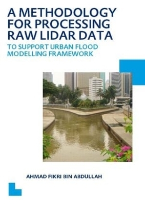
A Methodology for Processing Raw LIDAR Data to Support Urban Flood Modelling Framework
CRC Press (Verlag)
978-0-415-62475-6 (ISBN)
Ahmad Fikri bin Abdullah was born in the state of Terengganu, Malaysia. In 1996 he enrolled to the BSc degree course with a full scholarship from the Public Service Department of Malaysia for 4 years in Geoinformatics (GIS) at the Malaysia University of Technology. He was graduated (with distinction) in 2000. Soon after that, he was hired as a GIS Executive at Geomatika Technology Sdn Bhd and after that as a GIS Manager at Guardian Data Sdn Bhd. In July 2006 he was offered a full scholarship UNESCO-IHE under SWITCH project for PhD degree. In 2008 he received a full scholarship from the Ministry for Higher Education of Malaysia for pursuing his PhD. The period of the scholarship was 5 years. His research was devoted for A Methodology for Processing Raw LiDAR Data to Support Urban Flood Modelling Framework which is presented in this thesis.
1. Introduction 2. Urban flood modelling 3. Two Dimensional (2D) surface model, 4. Airborne Laser Scanning (ALS) 5. Filtering algorithms, 6. Evaluation of current filtering algorithms, 7. Development of Modified Progressive Morphological Algorithm (MPMA) 8. Case Study: Kuala Lumpur.9. Conclusions.
| Erscheint lt. Verlag | 15.4.2012 |
|---|---|
| Verlagsort | London |
| Sprache | englisch |
| Maße | 174 x 246 mm |
| Gewicht | 362 g |
| Themenwelt | Mathematik / Informatik ► Informatik ► Datenbanken |
| Mathematik / Informatik ► Informatik ► Theorie / Studium | |
| Naturwissenschaften ► Geowissenschaften ► Geografie / Kartografie | |
| Naturwissenschaften ► Geowissenschaften ► Geophysik | |
| Weitere Fachgebiete ► Land- / Forstwirtschaft / Fischerei | |
| ISBN-10 | 0-415-62475-4 / 0415624754 |
| ISBN-13 | 978-0-415-62475-6 / 9780415624756 |
| Zustand | Neuware |
| Informationen gemäß Produktsicherheitsverordnung (GPSR) | |
| Haben Sie eine Frage zum Produkt? |
aus dem Bereich


