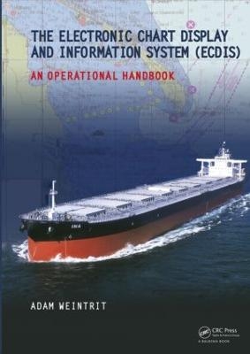
The Electronic Chart Display and Information System (ECDIS): An Operational Handbook
CRC Press (Verlag)
978-0-415-48246-2 (ISBN)
Electronic navigation, although still relatively new, is becoming increasingly more common, particularly on commercial vessels. This handbook offers a wealth of detailed information about how different charting systems operate and answers the most commonly asked questions regarding electronic charts (ENC, RNC, DNC) and electronic chart systems (ECDIS, RCDS, ECS). The first resource to provide so much detail on all facets of ECDIS and Electronic Charting Systems, it is certain to serve as the bible for ECDIS users for years to come. It not only provides information for training programs but also for engineers maintaining ECDIS Systems in the field.
The book will be of specific interest to those who need to know about selection, implementation, operational use, benefits, and management of these systems, without getting into the technical details of how ECDIS/GIS actually works.
Adam Weintrit is a Professor and Dean of the Faculty of Navigation (since 2008) of Gdynia Maritime University, Poland and the Head of the Navigational Department (since 2003). He was also Head of the Electronic Navigational Charts and ECDIS Simulator (1996-2010). He has got M.Sc degree from Gdynia Maritime University, Faculty of Navigation (1985), Ph.D and DSc degree (1992) and habilitation degree (2004) from Warsaw Technical University, Faculty of Geodesy and Cartography. He has over 25 years experience in teaching and research works in the field of maritime navigation, sea transport, hydrography, cartography, geodesy and safety at sea. He has been involved in national projects founded by the Polish Committee for Scientific Research, several local projects founded by GMU and has also co-operated in few international projects, including European Union projects and he received 3 grants of the IAMU founded by the Nippon Foundation (including two as a project leader). He has published more than 250 reports and papers in journals and conference proceedings. He is author of 18 books on navigation, including 5 handbooks on ECDIS and electronic charts. He has many times been the member of the program and organising committees of international conferences and symposiums. He is Chairman of TransNav.
Introduction. 1. Legal Aspects, Requirements and International Standards. 2. Principal Types of ECS and Electronic Charts. 3.ECDIS Data. 4. Presentation of ENC/SENC Data. 5. Main Functions of ECDIS. 6. Route Planning and Special Functions. 7. Route Monitoring and Special Functions. 8. Data Updating System. 9. Additional Navigation-related Information Sensors, Display and Functions. 10. Voyage Data Recording (Documentation). 11. Errors, Status Indications, Warnings and Alarms. 12. Operational Requirements.
| Erscheint lt. Verlag | 13.8.2009 |
|---|---|
| Zusatzinfo | 1000 Illustrations, color |
| Verlagsort | London |
| Sprache | englisch |
| Maße | 174 x 246 mm |
| Gewicht | 2358 g |
| Themenwelt | Technik ► Fahrzeugbau / Schiffbau |
| ISBN-10 | 0-415-48246-1 / 0415482461 |
| ISBN-13 | 978-0-415-48246-2 / 9780415482462 |
| Zustand | Neuware |
| Haben Sie eine Frage zum Produkt? |
aus dem Bereich


