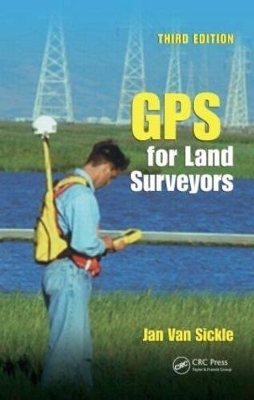
GPS for Land Surveyors, Third Edition
Crc Press Inc
978-0-8493-9195-8 (ISBN)
- Titel erscheint in neuer Auflage
- Artikel merken
Since the last edition of this international bestseller, GPS has grown to become part of a larger international context, the Global Navigation Satellite System (GNSS). Both GPS and GNSS technologies are becoming ever more important in the everyday practice of survey and mappers. With GPS for Land Surveyors, Third Edition, a book written by a land surveyor, for land surveyors, you can stay in the know on the latest GPS techniques, technologies, codes, and signals.
What’s New to the Third Edition?
Sections on Real-Time Network Services, Block IIF, and control segment modernization
GPS code, such as the M-code, L1C, and L2C
An entire chapter dedicated to GNSS
Discussion of the Russian GLONASS system, the Chinese Beidou system, and the Japanese QZSS
From fundamental theory to practical application and advanced technologies, the book covers GPS without pages of complicated math. It demonstrates the basics of GPS technology, common hardware, surveying methods, survey design, planning, and observation. Additionally, each chapter includes helpful review questions and answers. GPS and GNSS are revolutionizing the practice of surveying and mapping. This user-friendly manual gives you the tools needed to understand and use these important technologies in everyday practice.
Jan Van Sickle, P.L.S. has more than 40 years of experience as a land surveyor. He was privileged to supervise surveys with the first commercially available GPS receivers in the early 1980s and has worked with GPS since. He received his MEng from the University of Colorado in 2006. He is the author of GPS for Land Surveyors, Basic GIS Coordinates and 1001 Solved Surveying Fundamentals Problems. The latter is quoted in the feature Surveying Solutions each month in POB magazine. He taught the Advanced Surveying Program at the Denver Institute of Technology and GPS seminars throughout the United States. He is currently a Senior Lecturer at Penn State University. He is a licensed surveyor in California, Colorado, Oregon and North Dakota.
The GPS Signal
Global Positioning System (GPS) Signal Structure
Two Observables
Pseudoranging
Carrier Phase Ranging
Biases and Solutions
The Error Budget
Differencing
The Framework
Technological Forerunners
Very Long Baseline Interferometry
Transit
Navstar GPS
GPS Segment Organization
GPS Constellation
The Control Segment
Receivers and Methods
Common Features of GPS Receivers
Choosing a GPS Receiver
Some GPS Surveying Methods
Coordinates
A Few Pertinent Ideas About Geodetic Datums for GPS
State Plane Coordinates
Heights
GPS Surveying Techniques
Static GPS Surveying
Real-Time Kinematic (RTK) and Differential GPS (DGPS)
The General Idea
DGPS
RTK
Real-Time Network Services
Observing and Processing
Static GPS Control Observations
Real-Time Kinematic (RTK) and Differential GPS (DGPS) Observations
Processing
GPS Modernization and Global Navigation Satellite System (GNSS)
GPS Modernization
L5
Global Navigation Satellite System (GNSS)
GLONASS
BEIDOU/COMPASS
The Future
Interoperability
References
Glossary
Index
| Erscheint lt. Verlag | 4.2.2015 |
|---|---|
| Zusatzinfo | 9 Tables, black and white; 86 Illustrations, black and white |
| Verlagsort | Bosa Roca |
| Sprache | englisch |
| Maße | 156 x 235 mm |
| Gewicht | 748 g |
| Themenwelt | Technik ► Bauwesen |
| ISBN-10 | 0-8493-9195-4 / 0849391954 |
| ISBN-13 | 978-0-8493-9195-8 / 9780849391958 |
| Zustand | Neuware |
| Haben Sie eine Frage zum Produkt? |
aus dem Bereich


