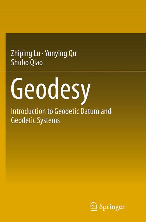
Geodesy
Springer Berlin (Verlag)
978-3-662-50760-5 (ISBN)
Geodetic datum (including coordinate datum, height datum, depth datum, gravimetry datum) and geodetic systems (including geodetic coordinate system, plane coordinate system, height system, gravimetry system) are the common foundations for every aspect of geomatics. This course book focuses on geodetic datum and geodetic systems, and describes the basic theories, techniques, methods of geodesy. The main themes include: the various techniques of geodetic data acquisition, geodetic datum and geodetic control networks, geoid and height systems, reference ellipsoid and geodetic coordinate systems, Gaussian projection and Gaussian plan coordinates and the establishment of geodetic coordinate systems. The framework of this book is based on several decades of lecture noted and the contents are developed systematically for a complete introduction to the geodetic foundations of geomatics.
Prof. Dr. Zhiping Lu, ssscenter@126.com Associate Prof. Dr. Shubo Qiao, qsb@shao.ac.cn Information Engineering University Zhengzhou, Henan, P.R.China.
Introduction.- Geodetic Data Collection Techniques.- Geodetic datum and Geodetic Control Network.- Geoid and Height System.- Reference Ellipsoid and Geodetic Coordinate System.- Gauss and UTM Conformal Projection and Plane Rectangular Coordinate System.- Establishment of Geodetic Coordinate System.
From the book reviews:
"The present work integrates both classical materials and modern developments in geodesy, it describes pure theoretical approaches and recent practical applications. The book can be used as a general textbook for undergraduates studying geomatics and survejing and mapping in higher education institutions. For technicians who are engaged in geomatic and surveying engineering, the book is strongly recommended as a basic and useful reference guide." (Claudia-Veronika Meister, zbMATH, Vol. 1296, 2014)
| Erscheinungsdatum | 23.09.2016 |
|---|---|
| Zusatzinfo | XXI, 401 p. 147 illus., 15 illus. in color. |
| Verlagsort | Berlin |
| Sprache | englisch |
| Maße | 155 x 235 mm |
| Themenwelt | Naturwissenschaften ► Biologie ► Ökologie / Naturschutz |
| Naturwissenschaften ► Geowissenschaften ► Geografie / Kartografie | |
| Naturwissenschaften ► Geowissenschaften ► Geologie | |
| Naturwissenschaften ► Geowissenschaften ► Geophysik | |
| Naturwissenschaften ► Physik / Astronomie ► Angewandte Physik | |
| Technik ► Umwelttechnik / Biotechnologie | |
| Schlagworte | Earth and Environmental Science • earth sciences • Ellipsoidal geodesy • Engineering Geodesy • Environmental science, engineering and technology • Geodesy • Geographical Information Systems/Cartography • Geographical information systems (GIS) and remote • Geophysics • Geophysics and Environmental Physics • Geophysics/Geodesy • Physical geodesy • satellite geodesy |
| ISBN-10 | 3-662-50760-9 / 3662507609 |
| ISBN-13 | 978-3-662-50760-5 / 9783662507605 |
| Zustand | Neuware |
| Informationen gemäß Produktsicherheitsverordnung (GPSR) | |
| Haben Sie eine Frage zum Produkt? |
aus dem Bereich


