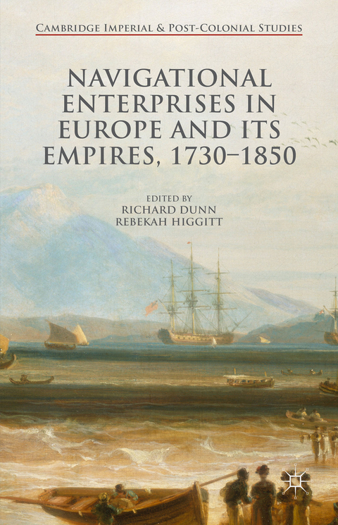
Navigational Enterprises in Europe and its Empires, 1730–1850
Palgrave Macmillan (Verlag)
978-1-137-52063-0 (ISBN)
Richard Dunn is Senior Curator of the History of Science at the National Maritime Museum in Greenwich, UK, where he has worked since 2004. Rebekah Higgitt is Lecturer in History of Science at the University of Kent, UK, and formerly Curator of History of Science at the National Maritime Museum, Greenwich. Dunn and Higgitt are co-authors of Finding Longitude: How Clocks and Stars Helped Solve the Longitude Problem (2014).
1. Introduction; Rebekah Higgitt and Richard Dunn 2. A Southern Meridian: Astronomical Undertakings in the Eighteenth-Century Spanish Empire; Juan Pimentel 3. The Longitude Committee and the Practice of Navigation in the Netherlands, c.1750-1850; Karel Davids 4. From Lacaille to Lalande: French Work on Lunar Distances, Nautical Ephemerides and Lunar Tables, 1742-85; Guy Boistel 5. The Bureau des Longitudes: An Institutional Study; Martina Schiavon 6. Patriotic and Cosmopolitan Patchworks: Following a Swedish Astronomer into London's Communities of Maritime Longitude, 1759-60; Jacob Orrje 7. 'Perfectly Correct': Russian Navigators and the Royal Navy; Simon Werrett 8. A Different Kind of Longitude: The Metrology and Conventions of Location by Geodesy; Michael Kershaw 9. Testing Longitude Methods in Mid-Eighteenth Century France; Danielle M. E. Fauque 10. Navigating the Pacific from Bougainville to Dumont d'Urville: French Approaches to Determining Longitude, 1766-1840; John Gascoigne 11. Navigation and Mathematics: A Match Made in the Heavens?; Jane Wess 12 . Longitude Networks on Land and Sea: The East India Company and Longitude Measurement 'in the Wild', 1770-1840; David Philip Miller
| Erscheint lt. Verlag | 26.10.2015 |
|---|---|
| Reihe/Serie | Cambridge Imperial and Post-Colonial Studies Series |
| Zusatzinfo | IX, 259 p. |
| Verlagsort | Basingstoke |
| Sprache | englisch |
| Maße | 140 x 216 mm |
| Themenwelt | Geisteswissenschaften ► Geschichte ► Allgemeines / Lexika |
| Geschichte ► Allgemeine Geschichte ► Neuzeit (bis 1918) | |
| Geisteswissenschaften ► Geschichte ► Regional- / Ländergeschichte | |
| Geschichte ► Teilgebiete der Geschichte ► Wirtschaftsgeschichte | |
| Naturwissenschaften ► Physik / Astronomie ► Astronomie / Astrophysik | |
| Technik ► Fahrzeugbau / Schiffbau | |
| ISBN-10 | 1-137-52063-9 / 1137520639 |
| ISBN-13 | 978-1-137-52063-0 / 9781137520630 |
| Zustand | Neuware |
| Informationen gemäß Produktsicherheitsverordnung (GPSR) | |
| Haben Sie eine Frage zum Produkt? |
aus dem Bereich


