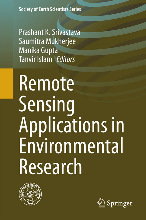
Remote Sensing Applications in Environmental Research
Springer International Publishing (Verlag)
978-3-319-05905-1 (ISBN)
Remote sensing-based determination of conifer needle flushing phenology over boreal-dominant regions.- Information System for Integrated Watershed Management using Remote Sensing and GIS.- Sensitivity Exploration of SimSphere Land Surface Model Towards its Use for Operational Products Development from Earth Observation Data.- Remote estimation of land surface temperature for different LULC features of a moist deciduous tropical forest region.- Geospatial Strategy for Estimation of Soil Organic Carbon in Tropical Wildlife Reserve.- A Comparative Assessment Between the Application of Fuzzy Unordered Rules Induction Algorithm and J48 Decision Tree Models in spatial Prediction of Shallow Landslides at Lang Son City,Vietnam.- Application of Geo-Spatial Technique for Flood Inundation mapping of Low Lying Areas.- Spatial Variations in Vegetation Fires and Carbon Monoxide Concentrations in South Asia.- Land use fragmentation analysis using Remote sensing and Fragstats.- Chlorophyll Retrieval using Ground based Hyperspectral Data from a tropical area of India using regression algorithms.- Remote sensing based identification of painted rock shelter sites: Appraisal using Advanced Wide Field Sensor, Neural Network and Field Observations.
| Erscheint lt. Verlag | 13.5.2014 |
|---|---|
| Reihe/Serie | Society of Earth Scientists Series |
| Zusatzinfo | XVI, 212 p. 80 illus., 66 illus. in color. |
| Verlagsort | Cham |
| Sprache | englisch |
| Maße | 155 x 235 mm |
| Gewicht | 508 g |
| Themenwelt | Naturwissenschaften ► Geowissenschaften ► Geografie / Kartografie |
| Naturwissenschaften ► Geowissenschaften ► Geologie | |
| Naturwissenschaften ► Geowissenschaften ► Geophysik | |
| Technik ► Umwelttechnik / Biotechnologie | |
| Schlagworte | Earth Observation Databases • Remote Sensing • Remote Sensing/Photogrammetry • Satellite Image Processing • SimSphere |
| ISBN-10 | 3-319-05905-X / 331905905X |
| ISBN-13 | 978-3-319-05905-1 / 9783319059051 |
| Zustand | Neuware |
| Informationen gemäß Produktsicherheitsverordnung (GPSR) | |
| Haben Sie eine Frage zum Produkt? |
aus dem Bereich


