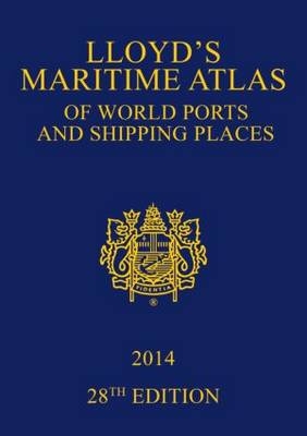
Lloyd's Maritime Atlas of World Ports and Shipping Places 2014
Seiten
2013
|
28th New edition
Routledge (Verlag)
978-0-415-83708-8 (ISBN)
Routledge (Verlag)
978-0-415-83708-8 (ISBN)
- Titel erscheint in neuer Auflage
- Artikel merken
Zu diesem Artikel existiert eine Nachauflage
Published since 1951, Lloyd's Maritime Atlas is the oldest and most respected atlas in the shipping industry. A comprehensive reference for locating the world’s busiest ports and shipping places, this new edition has been fully updated and enhanced with brand new maps and features to alleviate the demands on today’s busy shipping professional.
New to the 2014 edition:
Fully up-to-date with the latest port names and locations
World map indicating where MARPOL, SECA and PSSA regulations are in force
Double page spread revealing piracy hotspots and detailed analyses of routes to avoid
World map of vaccinations required to protect against major global diseases
Fully updated weather hazards at sea and international load line zones maps
Up to the minute BP Shipping Marine Distance Tables
Hyperlinked index map on the CD-ROM to quickly take you to the required location
In addition, Lloyd’s Maritime Atlas continues to provide:
Precise latitude and longitude co-ordinates of over 8,000 ports and shipping places from around the world
Over 70 full-colour world, ocean and regional maps
Expansive double-page world distance table plus 33 detailed regional tables to help you plan your route
Unique geographical and alphabetical indexing system to help you quickly and easily find a location
Free CD-ROM including piracy hotspots, search and rescue centres, and petroleum/bunker ports
All major canal and river systems, plus main road, rail and airport connections to cater for multi-modal journeys
This book continues to be the premier reference guide for shipping professionals worldwide.
Part 1: General Top 20 Ports, Index Map Part 2: World and Ocean Maps Weather Hazards at Sea, International Load Line Zones, MARPOL, Vaccinations & Diseases, Piracy Hotspots, North Atlantic Ocean, Atlantic and Indian Oceans, Pacific Ocean, Arctic, Antarctic Part 3: Regional Maps Part 4: Canals
| Erscheint lt. Verlag | 28.10.2013 |
|---|---|
| Verlagsort | London |
| Sprache | englisch |
| Maße | 210 x 297 mm |
| Gewicht | 885 g |
| Themenwelt | Natur / Technik ► Fahrzeuge / Flugzeuge / Schiffe ► Schiffe |
| Naturwissenschaften ► Geowissenschaften ► Geografie / Kartografie | |
| Recht / Steuern ► EU / Internationales Recht | |
| Technik | |
| ISBN-10 | 0-415-83708-1 / 0415837081 |
| ISBN-13 | 978-0-415-83708-8 / 9780415837088 |
| Zustand | Neuware |
| Haben Sie eine Frage zum Produkt? |
Mehr entdecken
aus dem Bereich
aus dem Bereich
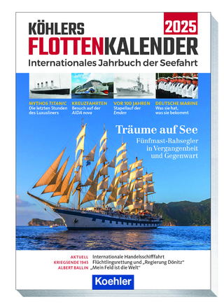
internationales Jahrbuch der Seefahrt
Buch | Softcover (2024)
Koehler in Maximilian Verlag GmbH & Co. KG
23,95 €


