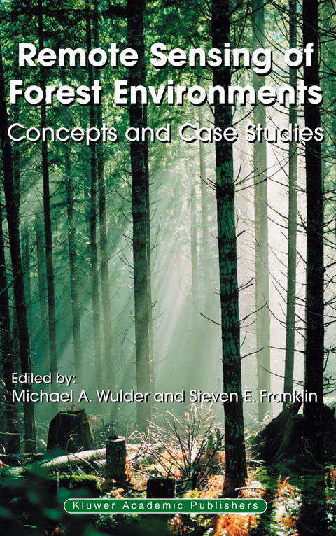
Remote Sensing of Forest Environments
Springer-Verlag New York Inc.
978-1-4613-5014-9 (ISBN)
Remote Sensing of Forest Environments: Concepts and Case Studies is designed to meet the needs of a professional audience composed of both practitioners and researchers. This book is also suitable as a secondary text for graduate-level students in Forestry, Environmental Science, Geography, Engineering, and Computer Science.
Section 1: Data collection and pre-processing.- 1. Remote sensing of forest environments, Introduction. The transition from theory to information.- 2. Selection of remotely sensed data.- 3. The roles of aerial photographs in forestry remote sensing image analysis.- 4. Indirect measurement of forest canopy structure from in situ optical sensors.- 5. Accuracy assessment of maps of forest condition: Statistical design and methodological considerations.- Section 2: Common methods for data processing and information generation.- 6. Geometric correction of remotely sensed images.- 7. Radiometric image processing.- 8. Per-pixel analysis of forest structure: Vegetation indices, spectral mixture analysis and canopy reflectance modeling.- 9. Extracting individual tree information: A survey of techniques for high spatial resolution imagery.- 10. Rationale and conceptual framework for classification approaches to assess forest resources and properties.- 11. Remote sensing of forests over time: Change types, methods, and opportunities.- Section 3: Case studies illustrating methods and applications for remote sensing of forests.- 12. National scale forest information extraction from coarse resolution satellite data, Part 1. Data processing and mapping land cover types.- 13. National scale forest information extraction from coarse resolution satellite data, Part 2. Forest biophysical parameters and carbon.- 14. Regional forest land cover characterisation using medium spatial resolution satellite data.- 15. Modeling forest productivity using data acquired through remote sensing.- 16. Experiences in field data collection: In support of land use and land cover change classification in boreal and tropical environments.- 17. Estimation of foliar chemistry of western hemlock using hyperspectral data.- 18. Using georeferenced large-scale aerial videography as a surrogate for ground validation data.- 19. Tree and canopy height estimation with scanning lidar.- 20. Remote sensing of forest environments, Conclusions. Challenges and opportunities.
| Zusatzinfo | XV, 519 p. |
|---|---|
| Verlagsort | New York, NY |
| Sprache | englisch |
| Maße | 155 x 235 mm |
| Themenwelt | Informatik ► Grafik / Design ► Digitale Bildverarbeitung |
| Informatik ► Theorie / Studium ► Künstliche Intelligenz / Robotik | |
| Naturwissenschaften ► Biologie ► Ökologie / Naturschutz | |
| Naturwissenschaften ► Geowissenschaften ► Geografie / Kartografie | |
| Technik | |
| Weitere Fachgebiete ► Land- / Forstwirtschaft / Fischerei | |
| ISBN-10 | 1-4613-5014-X / 146135014X |
| ISBN-13 | 978-1-4613-5014-9 / 9781461350149 |
| Zustand | Neuware |
| Informationen gemäß Produktsicherheitsverordnung (GPSR) | |
| Haben Sie eine Frage zum Produkt? |
aus dem Bereich


