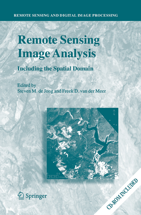
Remote Sensing Image Analysis: Including the Spatial Domain
Springer (Verlag)
978-94-017-4061-6 (ISBN)
Remote Sensing image analysis is mostly done using only spectral information on a pixel by pixel basis. Information captured in neighbouring cells, or information about patterns surrounding the pixel of interest often provides useful supplementary information. This book presents a wide range of innovative and advanced image processing methods for including spatial information, captured by neighbouring pixels in remotely sensed images, to improve image interpretation or image classification. Presented methods include different types of variogram analysis, various methods for texture quantification, smart kernel operators, pattern recognition techniques, image segmentation methods, sub-pixel methods, wavelets and advanced spectral mixture analysis techniques. Apart from explaining the working methods in detail a wide range of applications is presented covering land cover and land use mapping, environmental applications such as heavy metal pollution, urban mapping and geological applications to detect hydrocarbon seeps.
The book is meant for professionals, PhD students and graduates who use remote sensing image analysis, image interpretation and image classification in their work related to disciplines such as geography, geology, botany, ecology, forestry, cartography, soil science, engineering and urban and regional planning.
Basics of Remote Sensing.- Spatial Variability, Mapping Methods, Image Analysis and Pixels.- Sub-Pixel Methods in Remote Sensing.- Resolution Manipulation and Sub-Pixel Mapping.- Multiscale Object-Specific Analysis (MOSA): An Integrative Approach for Multiscale Landscape Analysis.- Variogram Derived Image Texture for Classifying Remotely Sensed Images.- Merging Spectral and Textural Information for Classifying Remotely Sensed Images.- Contextual Image Analysis Methods for Urban Applications.- Pixel-Based, Stratified and Contextual Analysis of Hyperspectral Imagery.- Variable Multiple Endmember Spectral Mixture Analysis for Geology Applications.- A Contextual Algorithm for Detection of Mineral Alteration Halos with Hyperspectral Remote Sensing.- Image Segmentation Methods for Object-based Analysis and Classification.- Multiscale Feature Extraction from Images Using Wavelets.- Contextual Analyses of Remotely Sensed Images for the Operational Classification of Land Cover in United Kingdom.- A Contextual Approach to Classify Mediterranean Heterogeneous Vegetation using the Spatial Reclassification Kernel (SPARK) and DAIS7915 Imagery.
| Reihe/Serie | Remote Sensing and Digital Image Processing ; 5 |
|---|---|
| Zusatzinfo | 164 Illustrations, black and white; XV, 359 p. 164 illus. |
| Verlagsort | Dordrecht |
| Sprache | englisch |
| Maße | 155 x 235 mm |
| Themenwelt | Sachbuch/Ratgeber ► Natur / Technik |
| Schulbuch / Wörterbuch | |
| Naturwissenschaften ► Biologie ► Ökologie / Naturschutz | |
| Naturwissenschaften ► Geowissenschaften ► Geografie / Kartografie | |
| Naturwissenschaften ► Geowissenschaften ► Geologie | |
| Naturwissenschaften ► Physik / Astronomie ► Optik | |
| Sozialwissenschaften | |
| Technik ► Elektrotechnik / Energietechnik | |
| ISBN-10 | 94-017-4061-5 / 9401740615 |
| ISBN-13 | 978-94-017-4061-6 / 9789401740616 |
| Zustand | Neuware |
| Informationen gemäß Produktsicherheitsverordnung (GPSR) | |
| Haben Sie eine Frage zum Produkt? |
aus dem Bereich


