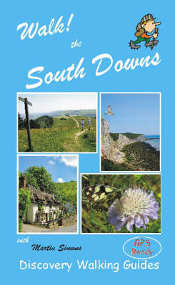
Walk! the South Downs
Seiten
2006
Discovery Walking Guides Ltd (Verlag)
978-1-904946-14-4 (ISBN)
Discovery Walking Guides Ltd (Verlag)
978-1-904946-14-4 (ISBN)
Including GPS Waypoint lists and a Place Name Index, this 160-page colour book contains walking routes within the South Downs region. Wire-O spiral binding allows it to lay flat and be folded back on itself without damage. It features: route summary of exertion rating; refreshments rating; time, distance, ascents/descents; and more.
Years of experience have gone into a new walking guide to the Downs - a book which fills its author with confidence. Of the 42 walks, 21 are within the West Sussex area, the area to the north of Chichester being a particular favourite of Martin's. Ten years of walking the Downs has gone into this book. Every walk has an element of wow! factor, many using paths that don't appear in other guides. It really is the Rolls Royce of South Downs walking. --West Sussex Gazette. Book Description A staggeringly beautiful and varied landscape, changing with the seasons, the South Downs offers formidable scarp slopes, towering cliffs, flowing contours, river valleys, and a wealth of woodland. Rich in history: prehistoric burial mounds, Iron Age hill forts, ancient tucked away churches, attractive villages and inns, all set in a backdrop of rolling undulating hills. With challenging climbs, the rewards are, at times, jaw-dropping! Nearly 2000 miles of footpaths and bridleways crisscross the Downs, as well as new paths across access land and nature reserves, stretching the 80 miles from Eastbourne to Winchester.
On many of the walks you may hardly see a soul, for despite the proximity of large populations, getting away from it all is a welcome reality. All 42 walking routes include: walking route summary, ratings for Effort Time Distance Ascents/Descents Refreshments and Vertigo risk, fully detailed walk description including frequent timings to aid navigation and check your progress, GPS waypoints at every key point on every route, full colour 1:40,000 scale Ordnance Survey licenced mapping for each route, short walk and stroll alternatives.
| Erscheint lt. Verlag | 16.1.2006 |
|---|---|
| Reihe/Serie | Walk! |
| Zusatzinfo | OS map sections & colour images |
| Verlagsort | Northampton |
| Sprache | englisch |
| Maße | 120 x 210 mm |
| Themenwelt | Sachbuch/Ratgeber ► Sport |
| Reiseführer ► Europa ► Großbritannien | |
| ISBN-10 | 1-904946-14-3 / 1904946143 |
| ISBN-13 | 978-1-904946-14-4 / 9781904946144 |
| Zustand | Neuware |
| Haben Sie eine Frage zum Produkt? |
Mehr entdecken
aus dem Bereich
aus dem Bereich
individuell reisen mit vielen praktischen Tipps
Buch | Softcover (2024)
Michael Müller (Verlag)
29,90 €
Reiseführer mit Stadtplan, 4 Spaziergängen und kostenloser Web-App
Buch | Softcover (2023)
Reise Know-How (Verlag)
15,95 €


