


Moab West: Klondike Bluffs, Deadhorse Point
Seiten
2022
|
2022nd ed.
National Geographic Maps (Verlag)
978-1-56695-901-8 (ISBN)
National Geographic Maps (Verlag)
978-1-56695-901-8 (ISBN)
- Keine Verlagsinformationen verfügbar
- Artikel merken
Waterproof, Tear-Resistant, Topographic Map. A premier destination for mountain biking, hiking, whitewater rafting, four-wheeling, and more, Moab offers adventure and recreation in one of the most iconic landscapes in the United States. National Geographic's Trails Illustrated maps of Moab were created in partnership with local land management agencies and adventure experts to provide unmatched detail of the area, with useful up-to-date information to guide and enrich your visit. On the Moab Area West map, particular attention is given to the area's extensive mountain bike trail systems, which are clearly mapped and labelled. This includes the major trail systems west of Moab, including Magnificent Seven, Rodeo, Navajo Rocks, Klondike Bluffs, Bar M (Moab Brands), Amasa Back, Klonzo, Slickrock Trail in the Sand Flats Recreation Area, Sovereign, Dead Horse Point, and the main park road to Devils Garden Trails in Arches National Park. Trails are symbolized by use (hiking, mountain biking
| Erscheint lt. Verlag | 11.2.2022 |
|---|---|
| Zusatzinfo | 2 Illustrations, unspecified |
| Verlagsort | Evergreen |
| Sprache | englisch |
| Maße | 108 x 235 mm |
| Themenwelt | Sachbuch/Ratgeber ► Sport |
| Reisen ► Karten / Stadtpläne / Atlanten ► Nord- / Mittelamerika | |
| Reiseführer ► Nord- / Mittelamerika ► USA | |
| ISBN-10 | 1-56695-901-2 / 1566959012 |
| ISBN-13 | 978-1-56695-901-8 / 9781566959018 |
| Zustand | Neuware |
| Haben Sie eine Frage zum Produkt? |
Mehr entdecken
aus dem Bereich


aus dem Bereich
Map
Karte (gefalzt) (2024)
Michelin Editions des Voyages (Verlag)
19,95 €
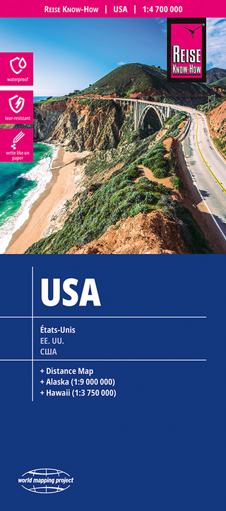
reiß- und wasserfest (world mapping project)
Karte (gefalzt) (2024)
Reise Know-How (Verlag)
12,00 €