


Wilderness Trekking Oman - Map
Western Hajar Mountains
Seiten
2020
Gilgamesh Publishing (Verlag)
978-1-908531-95-7 (ISBN)
Gilgamesh Publishing (Verlag)
978-1-908531-95-7 (ISBN)
This map is a practical addition to the guide for hiking in the Western Hajar, which is the western portion of the main mountain range in the Sultanate of Oman. The best walking weather in Oman is from mid-November to March. The traverse follows the spine of the mountains in a point-to-point walk taking sixteen days. It consists of eight one-day walks, two two-day walks and one four-day walk. There is a road intersection with a village or hotel between each of these eleven sections making it practical to walk sections rather than the full traverse. The track climbs to the highest accessible peak in the country at 2999m and finishes in remote dry valleys, called wadis, where impregnable cliffs have precluded road construction and electricity transmission. This has preserved the Arabian mountain lifestyle that has existed for centuries.
This traverse is for hikers who are competent with GPS navigation, as only six of the sixteen day tracks are marked. There are two shorter options, of which one has two chain ladders that do not require ropes. These options together reduce the traverse to twelve days or make two multi-day circuits, one with hotels and the other entirely in the wilderness. A loop in the traverse can be used to make another three-day wilderness circuit, or can be skipped altogether to further reduce the traverse duration to nine days. In Oman there are no mountain rangers, so this traverse is for experienced hikers who are comfortable looking after themselves. I have selected the route over many years by linking ancient and current donkey trading and walking tracks.
Exploring the Hajar Mountains with his family and Omani companions was John Edwards' passion during the sixteen years he spent living in Oman. His ambition with this project is to resurrect the historic trading routes connecting the mountain villages, enabling walking tourists to help sustain an emerging hospitality industry that uses some of the ancient village houses as hotel rooms, which otherwise will fall into ruin.
| Erscheint lt. Verlag | 10.3.2020 |
|---|---|
| Zusatzinfo | Full Colour |
| Sprache | englisch |
| Maße | 210 x 148 mm |
| Gewicht | 45 g |
| Themenwelt | Sachbuch/Ratgeber ► Sport |
| Reisen ► Karten / Stadtpläne / Atlanten ► Naher Osten | |
| Reisen ► Karten / Stadtpläne / Atlanten ► Asien | |
| ISBN-10 | 1-908531-95-9 / 1908531959 |
| ISBN-13 | 978-1-908531-95-7 / 9781908531957 |
| Zustand | Neuware |
| Haben Sie eine Frage zum Produkt? |
Mehr entdecken
aus dem Bereich


aus dem Bereich
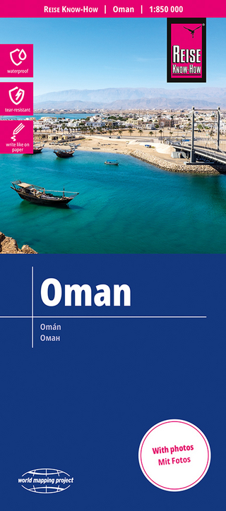
reiß- und wasserfest (world mapping project)
Karte (gefalzt) (2024)
Reise Know-How (Verlag)
14,00 €
Karte (gefalzt) (2024)
Freytag-Berndt und ARTARIA (Verlag)
12,90 €
Karte (gefalzt) (2023)
Reise Know-How (Verlag)
12,00 €