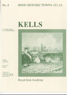
Kells
Irish Historic Towns Atlas, no. 4
Seiten
1990
Royal Irish Academy (Verlag)
978-0-901714-84-8 (ISBN)
Royal Irish Academy (Verlag)
978-0-901714-84-8 (ISBN)
- Titel nicht im Sortiment
- Artikel merken
Number 4 in the Irish Historic Towns Atlas series, Kells includes one coloured maps, eight black and white maps and twelve pages of text all in a folder illustrating the topographical development of this monastic town.
Number 4 in the Irish Historic Towns Atlas series, Kells illustrates the topographical development of this monastic town from earliest times to c. 1900. The histories of over 400 topographical sites are documented in the topographical gazetteer and the development of the town is discussed in an essay and illustrated with maps and images. It contains a coloured map 410 mm x 305 mm; 8 pages of black and white maps and plates; 12 pages of text 410 mm x 305 mm; in a folder 410 mm x 305 mm. Author: Anngret Simms with Katharine Simms; Series editors: J.H. Andrews, Anngret Simms; Cartographic editor: K.M. Davies
Number 4 in the Irish Historic Towns Atlas series, Kells illustrates the topographical development of this monastic town from earliest times to c. 1900. The histories of over 400 topographical sites are documented in the topographical gazetteer and the development of the town is discussed in an essay and illustrated with maps and images. It contains a coloured map 410 mm x 305 mm; 8 pages of black and white maps and plates; 12 pages of text 410 mm x 305 mm; in a folder 410 mm x 305 mm. Author: Anngret Simms with Katharine Simms; Series editors: J.H. Andrews, Anngret Simms; Cartographic editor: K.M. Davies
| Reihe/Serie | Irish Historic Towns Atlas |
|---|---|
| Co-Autor | Dr Katharine Simms |
| Mitarbeit |
Herausgeber (Serie): Professor J.H. Andrews |
| Zusatzinfo | Maps; Illustrations, unspecified |
| Verlagsort | Dublin |
| Sprache | englisch |
| Maße | 305 x 410 mm |
| Gewicht | 340 g |
| Themenwelt | Sachbuch/Ratgeber |
| Geisteswissenschaften ► Geschichte ► Regional- / Ländergeschichte | |
| Geisteswissenschaften ► Geschichte ► Teilgebiete der Geschichte | |
| Naturwissenschaften ► Geowissenschaften ► Geografie / Kartografie | |
| ISBN-10 | 0-901714-84-4 / 0901714844 |
| ISBN-13 | 978-0-901714-84-8 / 9780901714848 |
| Zustand | Neuware |
| Haben Sie eine Frage zum Produkt? |