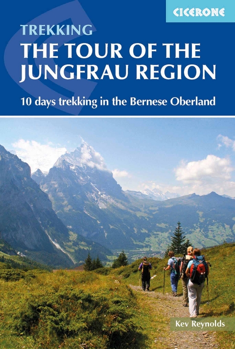
Tour of the Jungfrau Region
Cicerone Press (Verlag)
978-1-85284-864-4 (ISBN)
A guidebook to walking the Tour of the Jungfrau Region between Schynige Platte and Wilderswil. Covering 111km (69 miles), this long-distance trek through Switzerland’s Bernese Oberland takes around 10 days and is suitable for trekkers with some Alpine experience.
The route is described clockwise in 10 stages, each between 12 and 32km (7–22 miles) in length. A number of high- and low-level route alternatives are included allowing you to select the itinerary that suits you.
Sketch maps are included for each stage
Detailed information on accommodation, refreshments and facilities along the route
Advice on planning and preparation
Highlights include views of the Wetterhorn and Eiger
Kev Reynolds is a freelance writer, photojournalist and lecturer. A prolific compiler of guidebooks, his first title for Cicerone Press (Walks & Climbs in the Pyrenees) appeared in 1978; he has since produced many more titles for the same publisher, with others in the pipeline. A member of the Outdoor Writers' Guild, the Alpine Club and Austrian Alpine Club, his passion for mountains and the countryside remains undiminished after a lifetime's activity, and he regularly travels throughout Britain to share that enthusiasm through his lectures.
Map/profile key
Mountain safety
Location map
Overview map
Preface to the third edition
Introduction
The route
Accommodation
Suggested itineraries
How to get there
When to go
Language
Notes for walkers
Equipment
Recommended maps
Safety in the mountains
Wildlife and alpine flowers
Using the guide
Tour of the Jungfrau Region
Part 1 Schynige Platte to Stechelberg
Stage 1 Schynige Platte to First
Stage 2 First to Hotel Wetterhorn
Alternative Stage 2: First to Hotel Wetterhorn
via the Gleckstein Hut
Stage 3 Hotel Wetterhorn to Alpiglen
Alternative Stage 3: Hotel Wetterhorn to Berghaus Bäregg
Stage 4 Alpiglen to Kleine Scheidegg/Grindelwaldblick
Stage 5 Kleine Scheidegg/Grindelwaldblick to Stechelberg
Part 2 Stechelberg to Wilderswil
Stage 6 Stechelberg to Obersteinberg
Alternative Stage 6: Stechelberg to Obersteinberg (direct route)
Stage 7 Obersteinberg to the Rotstock Hut
Stage 8 Rotstock Hut to the Blumental
Stage 9 Blumental to the Suls-Lobhorn Hut
Stage 10 Suls-Lobhorn Hut to Wilderswil
Appendix A Useful contacts
Appendix B Accommodation directory
Appendix C Language primer
Appendix D Bibliography
| Erscheinungsdatum | 07.06.2018 |
|---|---|
| Reihe/Serie | Cicerone guidebooks |
| Zusatzinfo | 6 colour maps, route profiles and over 60 colour photographs |
| Verlagsort | Kendal |
| Sprache | englisch |
| Maße | 116 x 172 mm |
| Gewicht | 180 g |
| Themenwelt | Sachbuch/Ratgeber ► Sport |
| Reiseführer ► Europa ► Schweiz | |
| Reisen ► Sport- / Aktivreisen ► Europa | |
| ISBN-10 | 1-85284-864-2 / 1852848642 |
| ISBN-13 | 978-1-85284-864-4 / 9781852848644 |
| Zustand | Neuware |
| Haben Sie eine Frage zum Produkt? |


