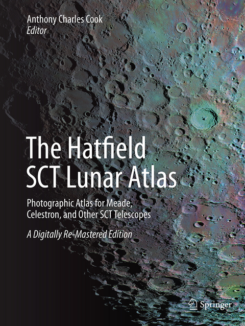
The Hatfield SCT Lunar Atlas
Springer-Verlag New York Inc.
978-1-4939-3826-1 (ISBN)
However, the current ranges of Schmidt-Cassegrain and Maksutov telescopes – that’s most of those manufactured by Meade, Celestron, and many others – don’t invert the observed image but instead reverse it left-for-right. That’s with North at the top and East on the left. Because of the way the human visual system works, it is almost impossible to mentally ‘mirror-image’ a map to compare it with the view through the eyepiece , so even turning an IAU-standard atlas upside-down doesn’t help!
This new SCT version of the Atlas solves this problem for observers. Identification of lunar features is made quick and easy.
The new, digitally re-mastered second edition vastly improves the clarity and definition of the original photographs – significantly beyond the resolution limits of the photographic grains present in earlier atlas versions – whilst preserving the layout and style of the original publications. This has been achieved by merging computer-visualized Earth-based views of the lunar surface, derived from NASA’s Lunar Reconnaissance Orbiter data, with scanned copies of Commander Hatfield’s photographic plates, using the author’s own software.
The result is a The Hatfield SCT Lunar Atlas for 21st century amateur telescopes up to and beyond 12-inch aperture.
It contains all the features that made the original so widely used: a combination of an index of all International Astronomical Union named primary lunarfeatures, and twelve chart areas help to locate any named lunar features of interest that can each be examined under typically five different states of illumination. Close ups of interesting features are also included. The new Atlas is supplemented by an introduction to its use, a short description of the digital re-mastering technique, and a completely new section describing lunar observing techniques. At the end of the atlas there is an index of all named features and crater diameters, along with a summary table of the dates and times that the original Hatfield images represent.
Anthony Charles Cook, Ph.D., FBIS, FRAS, is both an amateur astronomer and a professional lunar and planetary cartographer. He has worked with many leading planetary cartography research groups in the UK, Germany, and the United States. He produced a planet-wide digital elevation model (DEM) of the Moon in the year 2000, and this was used by the European Space Agency to guide its SMART-1 spacecraft down to a precise impact. Six previously unknown impact basins larger than 300 km across were discovered using this lunar DEM. Presently he is a lecturer at the Institute of Mathematics and Physics, Aberystwyth University, in the UK. He is Assistant Director of the British Astronomical Lunar Section and coordinates the Transient Lunar Phenomena observing program alongside a similar program for the Association of Lunar and Planetary Observers. He has also had Digital Planetary Cartography papers published in several refereed scientific journals.
Publisher's Preface by John Watson.- Introduction.- Plates 1-16 (with charts).- Exposure date chart.- Lunar Observing Techniques.
| Erscheinungsdatum | 11.08.2016 |
|---|---|
| Zusatzinfo | 186 Illustrations, black and white; IX, 219 p. 186 illus. |
| Verlagsort | New York |
| Sprache | englisch |
| Maße | 210 x 279 mm |
| Themenwelt | Sachbuch/Ratgeber ► Natur / Technik ► Weltraum / Astronomie |
| Naturwissenschaften ► Physik / Astronomie ► Astronomie / Astrophysik | |
| Schlagworte | Hatfield lunar atlas • Henry Hatfield • Lunar atlas classic • lunar craters • lunar observation • Maksutov telescope • Mirror-image atlas • Photographic lunar atlas • Schmidt-Cassegrain projection Moon • SCT atlas |
| ISBN-10 | 1-4939-3826-6 / 1493938266 |
| ISBN-13 | 978-1-4939-3826-1 / 9781493938261 |
| Zustand | Neuware |
| Haben Sie eine Frage zum Produkt? |
aus dem Bereich


