The Cleveland Way Map Booklet
Cicerone Press (Verlag)
978-1-85284-934-4 (ISBN)
- Titel ist leider vergriffen;
keine Neuauflage - Artikel merken
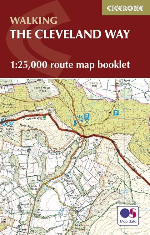
All the mapping you need to complete the Cleveland Way national trail. A long-distance route of 177 km (110 miles), giving around 9 days of easy and enjoyable walking through the North York Moors National Park, taking in open heather moorlands, gentle dales, interesting towns and villages, and dramatic cliff coastlines.
This booklet of Ordnance Survey 1:25,000 Explorer maps has been designed for convenient use on the trail. It shows the full and up-to-date line of the national trail, along with the relevant extract from the OS Explorer map legend, and can be used when walking the route in either direction. It is conveniently sized for slipping into a jacket pocket or the top of a rucksack.
This booklet is included with the Cicerone guidebook to the Cleveland Way and the Yorkshire Wolds Way National Trails.
Paddy Dillon is a prolific outdoor writer with over 70 guidebooks to his name, and contributions to 30 other publications. He has written for a variety of outdoor magazines, as well as many booklets and brochures for tourism organisations. Paddy lives near the Lake District and has walked in every county in England, Scotland, Ireland and Wales; writing about walks in every one of them. He enjoys simple day walks, challenging long-distance walks, and is a dedicated island-hopper.
Contents
Key to map pages
Stage 1 Helmsley to Sutton Bank
Stage 2 Sutton Bank to Osmotherley
Stage 3 Osmotherley to Clay Bank
Stage 4 Clay Bank to Kildale
Stage 5 Kildale to Saltburn-by-the-Sea
Stage 6 Saltburn-by-the-Sea to Sandsend
Stage 7 Sandsend to Robin Hood's Bay
Stage 8 Robin Hood's Bay to Scarborough
Stage 9 Scarborough to Filey
OS Explorer map legend
| Erscheinungsdatum | 25.07.2016 |
|---|---|
| Reihe/Serie | Cicerone guidebooks |
| Verlagsort | Kendal |
| Sprache | englisch |
| Maße | 106 x 166 mm |
| Gewicht | 70 g |
| Themenwelt | Sachbuch/Ratgeber ► Sport |
| Reisen ► Karten / Stadtpläne / Atlanten ► Europa | |
| Reisen ► Sport- / Aktivreisen | |
| ISBN-10 | 1-85284-934-7 / 1852849347 |
| ISBN-13 | 978-1-85284-934-4 / 9781852849344 |
| Zustand | Neuware |
| Informationen gemäß Produktsicherheitsverordnung (GPSR) | |
| Haben Sie eine Frage zum Produkt? |
aus dem Bereich


