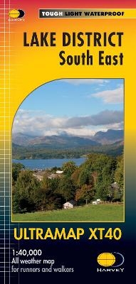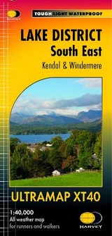
Lake District South East Ultramap
Seiten
2016
Harvey Map Services Ltd (Verlag)
978-1-85137-571-4 (ISBN)
Harvey Map Services Ltd (Verlag)
978-1-85137-571-4 (ISBN)
- Titel erscheint in neuer Auflage
- Artikel merken
Zu diesem Artikel existiert eine Nachauflage
Covers a large area yet is handily compact. Pocket perfect!
Detailed map for runners and walkers of the south eastern fells of the Lake District National Park.
The map has Lake Windermere in the centre. Includes Ambleside, Coniston and Kendal and the superb mountain biking area of Grizedale Forest.
Has the advantages of its bigger brothers:
Includes Rights of Way
Use without a map case: tough and 100% waterproof
Opens directly to either side of the sheet
| Erscheint lt. Verlag | 10.3.2016 |
|---|---|
| Reihe/Serie | Ultramap |
| Verlagsort | Perthshire |
| Sprache | englisch |
| Maße | 73 x 152 mm |
| Themenwelt | Sachbuch/Ratgeber ► Sport |
| Reisen ► Karten / Stadtpläne / Atlanten ► Europa | |
| ISBN-10 | 1-85137-571-6 / 1851375716 |
| ISBN-13 | 978-1-85137-571-4 / 9781851375714 |
| Zustand | Neuware |
| Haben Sie eine Frage zum Produkt? |
Mehr entdecken
aus dem Bereich
aus dem Bereich
Karte (gefalzt) (2023)
Freytag-Berndt und ARTARIA (Verlag)
12,90 €
Straßen- und Freizeitkarte 1:250.000
Karte (gefalzt) (2023)
Freytag-Berndt und ARTARIA (Verlag)
12,90 €
Östersund
Karte (gefalzt) (2023)
Freytag-Berndt und ARTARIA (Verlag)
12,90 €


