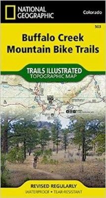
Buffalo Creek Mountain Bike Trails
Trails Illustrated Other Rec. Areas
Seiten
2015
|
2019th ed.
National Geographic Maps (Verlag)
978-1-59775-620-4 (ISBN)
National Geographic Maps (Verlag)
978-1-59775-620-4 (ISBN)
- Keine Verlagsinformationen verfügbar
- Artikel merken
National Geographic's Trails Illustrated Maps are the most detailed and up-to-date topographic recreation maps available for US National Parks, National Forests and other popular outdoor recreation areas. A necessity for exploring the outdoors, each map is printed on waterproof, tear-resistant material. They also contain key safety and contact information, GPS and compass coordinates, Leave No Trace ethical guidelines and hundreds of points-of-interest, including scenic viewpoints, campgrounds, boat launches, swimming areas, marine sanctuaries and wildlife refuges.
| Erscheint lt. Verlag | 31.7.2015 |
|---|---|
| Verlagsort | Evergreen |
| Sprache | englisch |
| Maße | 110 x 190 mm |
| Gewicht | 49 g |
| Themenwelt | Sachbuch/Ratgeber ► Sport ► Motor- / Rad- / Flugsport |
| Reisen ► Karten / Stadtpläne / Atlanten ► Nord- / Mittelamerika | |
| ISBN-10 | 1-59775-620-2 / 1597756202 |
| ISBN-13 | 978-1-59775-620-4 / 9781597756204 |
| Zustand | Neuware |
| Haben Sie eine Frage zum Produkt? |
Mehr entdecken
aus dem Bereich
aus dem Bereich
4in1 Wanderkarte : mit Aktiv Guide und Detailkarten : inklusive Karte …
Karte (gefalzt) (2023)
Kompass-Karten (Verlag)
12,95 €
Karte (gefalzt) (2023)
BVA BikeMedia (Verlag)
11,95 €


