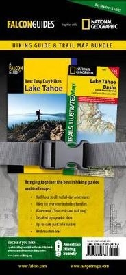
Best Easy Day Hiking Guide and Trail Map Bundle: Lake Tahoe
Falcon Guides
978-0-7627-5973-6 (ISBN)
- Titel ist leider vergriffen;
keine Neuauflage - Artikel merken
Tracy Salcedo-Chourre has been writing and editing outdoor guidebooks for almost twenty years. A former newspaper reporter, columnist, and editor, she has written Best Easy Day hikes guides for the San Francisco Bay Area, Reno, Sacramento, Denver, Boulder, and Aspen, among others. She is also author of Hiking Lassen Volcanic National Park, California's Missions and Presidios, Best Rail Trails California, and Exploring Point Reyes National Seashore and Golden Gate National Recreation Area, all FalconGuides. Also an educator, Salcedo-Chourre resides in California's Wine Country with her husband, three sons, and the family pets.With over 165 titles available for America's favorite outdoor destinations, National Geographic Maps' Trails Illustrated maps are the most trusted and popular recreation maps available. Continually setting the standard for accuracy, each map is crafted in conjunction with local land managers, and undergoes rigorous review and enhancement before being printed on waterproof, tear-resistant material. Each Trails Illustrated map contains detailed topographic information, clearly marked and named trails, recreational points of interest, and navigational aids.
| Erscheint lt. Verlag | 18.5.2010 |
|---|---|
| Reihe/Serie | Best Easy Day Hikes Series |
| Sprache | englisch |
| Maße | 108 x 178 mm |
| Gewicht | 12 g |
| Themenwelt | Sachbuch/Ratgeber ► Sport |
| Reisen ► Karten / Stadtpläne / Atlanten ► Nord- / Mittelamerika | |
| Reiseführer ► Nord- / Mittelamerika ► USA | |
| ISBN-10 | 0-7627-5973-9 / 0762759739 |
| ISBN-13 | 978-0-7627-5973-6 / 9780762759736 |
| Zustand | Neuware |
| Haben Sie eine Frage zum Produkt? |