


Cairo City Map
2008
Geodia (Verlag)
978-88-87177-39-8 (ISBN)
Geodia (Verlag)
978-88-87177-39-8 (ISBN)
- Keine Verlagsinformationen verfügbar
- Artikel merken
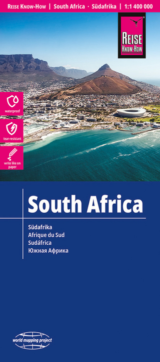
A tough, plastic-coated fold-out map that can be used anywhere, from dusty city streets, to sandy desert oases, to wet and salty Red Sea beaches. It can also be written on with marker pens and later wiped clean. It is suitable for recording routes or making your own additions and amendments.
These handy but tough, plastic-coated, fold-out maps can be used anywhere, from dusty city streets, to sandy desert oases, to wet and salty Red Sea beaches. They can also be written on with marker pens and later wiped clean - ideal for recording routes or making your own additions and amendments. "The Sinai & Sharm el-Sheikh Diving Map" shows all the major diving venues around south Sinai, as well as the roads to get there, and also has 30 3-D plans of individual dive sites. "The Red Sea Diving & Safari Map" shows the whole of Egypt's Red Sea coast and the dive sites along it, with city plans of El-Gouna, Hurghada, Safaga, and Marsa Alam. "The Egypt Map" covers the whole country from north to south, with city plans of Greater Cairo, Alexandria, Luxor, and Aswan. "The Cairo City Map" covers central Cairo, with additional plans of Heliopolis, Nasr City, and Maadi. "The Map of the Western Desert" shows clearly everything between the Nile and the Libyan border, and has detailed maps of the Bahariya, Farafra, Dakhla, Kharga, and Siwa oases, and the Gilf Kebir and Gebel Uweinat.
These handy but tough, plastic-coated, fold-out maps can be used anywhere, from dusty city streets, to sandy desert oases, to wet and salty Red Sea beaches. They can also be written on with marker pens and later wiped clean - ideal for recording routes or making your own additions and amendments. "The Sinai & Sharm el-Sheikh Diving Map" shows all the major diving venues around south Sinai, as well as the roads to get there, and also has 30 3-D plans of individual dive sites. "The Red Sea Diving & Safari Map" shows the whole of Egypt's Red Sea coast and the dive sites along it, with city plans of El-Gouna, Hurghada, Safaga, and Marsa Alam. "The Egypt Map" covers the whole country from north to south, with city plans of Greater Cairo, Alexandria, Luxor, and Aswan. "The Cairo City Map" covers central Cairo, with additional plans of Heliopolis, Nasr City, and Maadi. "The Map of the Western Desert" shows clearly everything between the Nile and the Libyan border, and has detailed maps of the Bahariya, Farafra, Dakhla, Kharga, and Siwa oases, and the Gilf Kebir and Gebel Uweinat.
| Verlagsort | Verona |
|---|---|
| Sprache | englisch |
| Maße | 110 x 235 mm |
| Themenwelt | Reisen ► Karten / Stadtpläne / Atlanten ► Afrika |
| ISBN-10 | 88-87177-39-2 / 8887177392 |
| ISBN-13 | 978-88-87177-39-8 / 9788887177398 |
| Zustand | Neuware |
| Informationen gemäß Produktsicherheitsverordnung (GPSR) | |
| Haben Sie eine Frage zum Produkt? |
Mehr entdecken
aus dem Bereich


aus dem Bereich
reiß- und wasserfest (world mapping project)
Karte (gefalzt) (2024)
Reise Know-How Peter Rump GmbH (Verlag)
14,00 €
reiß- und wasserfest (world mapping project)
Karte (gefalzt) (2023)
Reise Know-How Peter Rump GmbH (Verlag)
14,00 €
Karte (gefalzt) (2023)
Reise Know-How Peter Rump GmbH (Verlag)
14,00 €