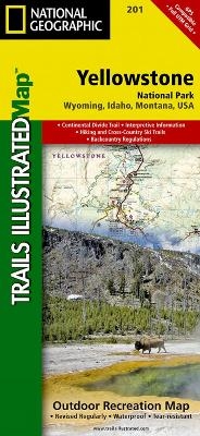
Yellowstone National Park
Trails Illustrated National Parks
Seiten
2012
|
2022nd ed.
National Geographic Maps (Verlag)
978-1-56695-295-8 (ISBN)
National Geographic Maps (Verlag)
978-1-56695-295-8 (ISBN)
Trails Illustrated topographic maps are the most detailed and up-to-date recreation maps available for these national parks, national forests and popular outdoor recreation areas. Detailed and accurate coverage for Yellowstone National Park, this map includes a detailed road network and popular trails, complete with use restrictions, mileages, elevation gains, and difficulty ratings. Popular attractions and park services are clearly identified. UTM and Latitude/Longitude grids ensure ease of use with GPS or compass navigation.
| Erscheint lt. Verlag | 2.8.2012 |
|---|---|
| Verlagsort | Evergreen |
| Sprache | englisch |
| Maße | 108 x 235 mm |
| Gewicht | 91 g |
| Einbandart | gefalzt |
| Themenwelt | Reisen ► Karten / Stadtpläne / Atlanten ► Nord- / Mittelamerika |
| ISBN-10 | 1-56695-295-6 / 1566952956 |
| ISBN-13 | 978-1-56695-295-8 / 9781566952958 |
| Zustand | Neuware |
| Haben Sie eine Frage zum Produkt? |
Mehr entdecken
aus dem Bereich
aus dem Bereich
Karte (gefalzt) (2024)
Freytag-Berndt und ARTARIA (Verlag)
12,90 €
Karte (gefalzt) (2023)
Reise Know-How (Verlag)
12,00 €
Karte (gefalzt) (2023)
Reise Know-How (Verlag)
12,00 €


