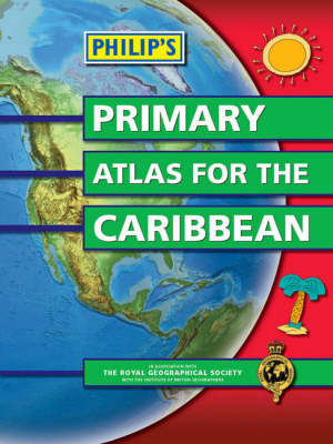
Philip's Primary Atlas for the Caribbean
Seiten
2008
Philip's (Verlag)
978-0-540-09452-3 (ISBN)
Philip's (Verlag)
978-0-540-09452-3 (ISBN)
- Titel ist leider vergriffen;
keine Neuauflage - Artikel merken
Detailed coverage of every country in the Caribbean region, including Belize and Guyana. Extra large-scale thematic maps of Trinidad and Tobago, Jamaica and Barbados. Up-to-date maps of the World and World themes. Published in association with The Royal Geographical Society.
Philip's Primary Atlas for the Caribbean combines brightly coloured maps with clear, concise text, plus explanatory diagrams, satellite images and illustrations - ideal for students interested in Caribbean history and geography.The introductory pages explain how to understand maps in general, with scale, direction, and latitude and longitude clearly described, before moving on to special maps of the Caribbean region as a whole.The detailed coverage includes topographical maps of Trinidad and Tobago, Jamaica, the Cayman Islands, Belize, Bermuda, the Bahamas, Dominica, St Lucia and Barbados, together with the other countries and islands of the Caribbean, plus informative thematic maps on land use, climate, population, tourism and trade.There is a special focus on the key local themes of the Caribbean region as a whole - its physical environment, history, people, agriculture, industry and commerce.A World section completes the atlas, including topographical maps of the World and its continents, plus thematic maps on such topics as climate, the environment, people, energy and resources.The 4-page index provides letter-figure grid references to over 2500 place names and features.
Philip's Primary Atlas for the Caribbean combines brightly coloured maps with clear, concise text, plus explanatory diagrams, satellite images and illustrations - ideal for students interested in Caribbean history and geography.The introductory pages explain how to understand maps in general, with scale, direction, and latitude and longitude clearly described, before moving on to special maps of the Caribbean region as a whole.The detailed coverage includes topographical maps of Trinidad and Tobago, Jamaica, the Cayman Islands, Belize, Bermuda, the Bahamas, Dominica, St Lucia and Barbados, together with the other countries and islands of the Caribbean, plus informative thematic maps on land use, climate, population, tourism and trade.There is a special focus on the key local themes of the Caribbean region as a whole - its physical environment, history, people, agriculture, industry and commerce.A World section completes the atlas, including topographical maps of the World and its continents, plus thematic maps on such topics as climate, the environment, people, energy and resources.The 4-page index provides letter-figure grid references to over 2500 place names and features.
| Erscheint lt. Verlag | 6.5.2008 |
|---|---|
| Verlagsort | London |
| Sprache | englisch |
| Maße | 221 x 293 mm |
| Gewicht | 282 g |
| Themenwelt | Reisen ► Karten / Stadtpläne / Atlanten ► Welt / Arktis / Antarktis |
| ISBN-10 | 0-540-09452-8 / 0540094528 |
| ISBN-13 | 978-0-540-09452-3 / 9780540094523 |
| Zustand | Neuware |
| Haben Sie eine Frage zum Produkt? |
Mehr entdecken
aus dem Bereich
aus dem Bereich
mit Fakten und Infos zu allen Kontinenten
Buch | Hardcover (2024)
Kosmos Kartografie in der Franckh-Kosmos Verlags-GmbH & Co. …
24,00 €


