The Mid-Western Fells
Cicerone Press (Verlag)
978-1-85284-543-8 (ISBN)
- Titel ist leider vergriffen;
keine Neuauflage - Artikel merken
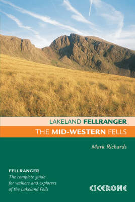
Lakeland Fellranger walking guidebook covering 22 summits in the Mid-Western Fells of the Lake District, including a wide range of hills in the triangle between Great Langdale, Borrowdale and Wasdale. The group centres on the two highest hills in England, the mighty Scafell Pike and Sca Fell with their many approaches.
Each of the 22 fells has a dedicated chapter describing a plethora of walking routes of differing characters and difficulties (from wide bridleways up to easy scrambles), which can easily be combined to make ascents, descents, traverses or ridge routes. The chapter begins with a customised Harvey map that illustrates the routes, and shows ridge connections to neighbouring fells to assist in the planning of extended walks.
In many instances pen and ink drawn diagrams show the routes from a given perspective to assist visualisation. The guidebook is fully illustrated throughout with clear elevation diagrams, detailed summit panoramas and lots of inspiring photographs.
The Mid-Western Fells is part of the eight-volume Lakeland Fellranger series by Mark Richards. Together they provide a comprehensive guide to explore and enjoy the fells of the Lake District, with a selection of routes up more than 220 hills.
Mark Richards moved to Cumbria in the early 1990s and developed a passion for the finest of all walking landscapes. Mark has written guides to the Peak District and Hadrian's Wall. He is a founder of the Hadrian's Wall Trust, a member of the Outdoor Writers and Photographers Guild and broadcasts on BBC Radio Cumbria.
From fireside to fellside
This guide
Fix the Fells
Access
Safety
Starting points
1 Allen Crags (784m, 2572ft)
2 Bowfell (903m, 2963ft)
3 Cold Pike (701m, 2300ft)
4 Crinkle Crags (860m, 2822ft
5 Eskdale Moor (337m, 1105ft)
6 Esk Pike (885m, 2904ft)
7 Glaramara (783m, 2569ft)
8 Great End (907m, 2976ft)
9 Great How (523m, 1716ft)
10 Hard Knott (552m, 1811ft)
11 Illgill Head (609m, 1998ft)
12 Lingmell (807m, 2649ft)
13 Lingmoor Fell (470m, 1542ft)
14 Little Stand (739m, 2426ft)
15 Pike O'Blisco (705m, 2313ft)
16 Rossett Pike (651m, 2136ft)
17 Rosthwaite Fell (551m, 1808ft)
18 Scafell (964m, 3163ft)
19 Scafell Pike (977m, 3206ft)
20 Seathwaite Fell (631m, 2070ft)
21 Slight Side (762m, 2500ft)
22 Whin Rigg (536m, 1759ft)
Index
| Erscheint lt. Verlag | 17.9.2012 |
|---|---|
| Zusatzinfo | 22 Harvey map extracts, plus elevations and summit panoramas |
| Verlagsort | Kendal |
| Sprache | englisch |
| Maße | 130 x 196 mm |
| Gewicht | 460 g |
| Themenwelt | Sachbuch/Ratgeber ► Sport |
| Reiseführer ► Europa ► Großbritannien | |
| ISBN-10 | 1-85284-543-0 / 1852845430 |
| ISBN-13 | 978-1-85284-543-8 / 9781852845438 |
| Zustand | Neuware |
| Haben Sie eine Frage zum Produkt? |
aus dem Bereich


