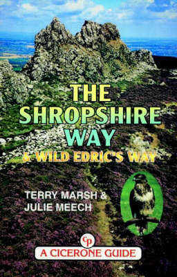
The Shropshire Way - and Wild Edric's Way
Cicerone Press (Verlag)
978-1-85284-281-9 (ISBN)
- Titel ist leider vergriffen;
keine Neuauflage - Artikel merken
The "Shropshire Way" takes a circular route of 136 miles through one of England's finest counties. It starts and finishes in the county town of Shrewsbury (easily reached by rail and bus), and includes highlights such as the castles at Clun and Stokesay, the famous industrial site of Ironbridge and the lovely old town of Ludlow, often claimed as the most beautiful in Britain. The walking is magnificent throughout and not too strenuous. In addition, the guide includes the shorter Wild Edric's Way, a 49-mile romp over the hills from Church Stretton to Ludlow, including the famous Long Mynd and Stiperstones. Both start and finish are readily accessible by rail. It makes an excellent introduction to the county for those whose time is more limited. Walkers with limited experience of long-distance walking may find Wild Edric's Way a useful introduction before tackling the Shropshire Way in its entirety.
A writer and photographer since 1978, Terry Marsh specialises in the outdoors, the countryside, walking and travel worldwide. He is the author of over 45 books, including the award-winning Cicerone guides to the Northern Coast to Coast Walk (1994) and the Shropshire Way (1999), as well as guidebooks to the Pennine Way, the Severn Way and the West Highland Way. Terry has a particular interest in Cumbria and the Lake District, the Yorkshire Dales, Lancashire, the Peak District, the Scottish Islands (especially the Isle of Skye) and the Isle of Man. He is a Fellow of the Royal Geographical Society (FRGS) and of the Society of Antiquaries of Scotland (FSA Scot), and a Member of the Society of Authors, MENSA, the NUJ and the Outdoor Writers' Guild.
INTRODUCTION Explanatory Notes: Direction and route description; distances; using the guide Planning the Walk: Preparation and fitness; when to do it; maps; Daily itineraries; accommodation; public transport; Equipment; useful addresses THE SHROPSHIRE WAY (anticlockwise) 1.Shrewsbury to Ludlow Shrewsbury to Bridges (25.75km/16miles) Bridges to Bishop's Castle (18.5km/ 11 miles) Bishop's Castle to Clun (17.5km/ 11 miles) Clun to Stokesay Castle (17.8km/ 11 miles) Stokesay Castle to Ludlow (14.2km/ 9miles) 2.Ludlow to Ironbridge Ludlow to Knowbury Knowbury to Holdgate Holdgate to Easthope Easthope to Much Wenlock Much Wenlock to Ironbridge 3.Ironbridge to Shrewsbury Ironbridge to High Ercall High Ercall to Stanton upon Hine Heath Stanton upon Hine Heath to Wem Wem to Grinshill Grinshill to Shrewsbury The Shropshire Way (Clockwise) The Northern Extension Grindley Brook to Wem Wem to Grindley Brook Wild Edric's Way Appendices A.Essential and Supplementary Reading B.Accommodation Guide Index
| Erscheint lt. Verlag | 1.6.1999 |
|---|---|
| Reihe/Serie | Midlands S. |
| Zusatzinfo | Laminated Cover |
| Verlagsort | Kendal |
| Sprache | englisch |
| Maße | 116 x 172 mm |
| Themenwelt | Sachbuch/Ratgeber ► Sport |
| Reiseführer ► Europa ► Großbritannien | |
| ISBN-10 | 1-85284-281-4 / 1852842814 |
| ISBN-13 | 978-1-85284-281-9 / 9781852842819 |
| Zustand | Neuware |
| Haben Sie eine Frage zum Produkt? |
aus dem Bereich


