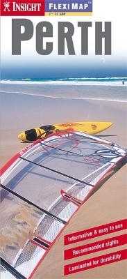
Insight Guides Flexi Map Perth
Seiten
2005
Insight Guides (Verlag)
978-981-258-275-1 (ISBN)
Insight Guides (Verlag)
978-981-258-275-1 (ISBN)
- Titel ist leider vergriffen;
keine Neuauflage - Artikel merken
A map of Perth that contains six maps, including Perth City, Perth environs, Perth Urban area, Fremantle, and an overview regional map. It gives overviews of the top recommended sites and places to visit, as well as practical data, climate tables and local transport details.
This laminated fleximap of Perth contains six maps, including Perth City, Perth environs, Perth Urban area, Fremantle, and an overview regional map. It also gives overviews of the top recommended sights and places to visit, as well as practical data, climate tables and local transport details. The key features include: detailed cartography highlights all the main tourist sights and provides valuable motoring information; informative text - essential facts about the destination are provided, plus handy tips for getting around; ease of use - the durable maps fold very easily, even when it's raining; and laminated finish - you can write on the map with a non-permanent marker pen and wipe it off later.
This laminated fleximap of Perth contains six maps, including Perth City, Perth environs, Perth Urban area, Fremantle, and an overview regional map. It also gives overviews of the top recommended sights and places to visit, as well as practical data, climate tables and local transport details. The key features include: detailed cartography highlights all the main tourist sights and provides valuable motoring information; informative text - essential facts about the destination are provided, plus handy tips for getting around; ease of use - the durable maps fold very easily, even when it's raining; and laminated finish - you can write on the map with a non-permanent marker pen and wipe it off later.
| Erscheint lt. Verlag | 24.6.2005 |
|---|---|
| Reihe/Serie | Insight Guides Flexi Maps |
| Verlagsort | London |
| Sprache | englisch |
| Maße | 101 x 216 mm |
| Themenwelt | Reisen ► Karten / Stadtpläne / Atlanten ► Europa |
| Reisen ► Karten / Stadtpläne / Atlanten ► Australien / Neuseeland / Ozeanien | |
| ISBN-10 | 981-258-275-4 / 9812582754 |
| ISBN-13 | 978-981-258-275-1 / 9789812582751 |
| Zustand | Neuware |
| Informationen gemäß Produktsicherheitsverordnung (GPSR) | |
| Haben Sie eine Frage zum Produkt? |
Mehr entdecken
aus dem Bereich
aus dem Bereich
Straßen- und Freizeitkarte 1:250.000
Karte (gefalzt) (2023)
Freytag-Berndt und ARTARIA (Verlag)
12,90 €
Karte (gefalzt) (2023)
Freytag-Berndt und ARTARIA (Verlag)
12,90 €


