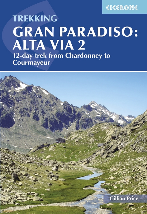
Trekking Gran Paradiso: Alta Via 2
From Chardonney to Courmayeur in the Aosta Valley
Seiten
2024
Cicerone Press (Verlag)
978-1-78631-184-9 (ISBN)
Cicerone Press (Verlag)
978-1-78631-184-9 (ISBN)
This guidebook describes the 12-day Alta Via 2 trek in the Gran Paradiso National Park, which covers over 140km of rugged mountains and valleys between Chardonney and Courmayeur in the Aosta Valley. While not high on the difficulty scale, Alta Via 2 is strenuous, and best suited to trekkers with some alpine experience.
A guidebook to trekking Alta Via 2, a route of 148km, from Chardonney and Courmayeur in the Gran Paradiso National Park. While not high on the difficulty scale, Alta Via 2 is strenuous, and best suited to trekkers with some alpine experience. Fittingly perfectly into a two-week time slot, the route is best undertaken between late June and late September.
The route is described across 12 stages (with a 4-stage extension option in place of Stages 6 and 7). Stages range from 5 to 18km, with stage ascent varying from 50m (Stage 8) to 1400m (Stage 9). Net ascent is 9630m. The route is described east to west so trekkers are rewarded with the beauty of Mont Blanc at the journey's end.
GPX files available to download
Detailed information on travel logistics, the mountain hut network, as well as kit requirements
Trek-specific Italian-English glossary included
Information given on local alpine flora and wildlife
Sized to easily fit in a jacket pocket
Gillian Price has trekked throughout Asia and the Himalayas, but now lives in Venice and is exploring the mountains and flatter bits of Italy. Starting in the Italian Dolomites, Gillian has written outstanding Cicerone guides to walking all over Italy as well as Corsica and Corfu. An adamant promoter of public transport to minimise environmental impact, Gillian belongs to Mountain Wilderness and is an active member of the Venice branch of CAI, the Italian Alpine Club. Check her out at www.gillianprice.eu.
| Erscheinungsdatum | 23.08.2024 |
|---|---|
| Reihe/Serie | Cicerone guidebooks |
| Zusatzinfo | colour photographs and sketch maps |
| Verlagsort | Kendal |
| Sprache | englisch |
| Maße | 116 x 172 mm |
| Gewicht | 120 g |
| Themenwelt | Sachbuch/Ratgeber ► Sport |
| Reiseführer ► Europa ► Italien | |
| Reisen ► Sport- / Aktivreisen ► Europa | |
| ISBN-10 | 1-78631-184-4 / 1786311844 |
| ISBN-13 | 978-1-78631-184-9 / 9781786311849 |
| Zustand | Neuware |
| Haben Sie eine Frage zum Produkt? |


