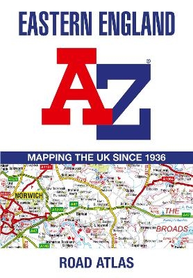
Eastern England A-Z Road Atlas
Seiten
2024
Harpercollins (Verlag)
978-0-00-865282-1 (ISBN)
Harpercollins (Verlag)
978-0-00-865282-1 (ISBN)
A full-colour, regional road atlas from A-Z Maps. Featuring more than 50 pages of continuous mapping of regions in the east of England.
Published at a clear 2.5 miles to 1 inch the following features are shown on the road mapping:
Motorways with full junction detail, primary routes and destinations, A & B roads, under construction and proposed roads, service areas, tolls, mileages, county and unitary authority boundaries
National Park boundaries
Selected places of interest and tourist information centres
Separate city, town, airport, and port plans
The comprehensive index section lists cities, towns, villages, hamlets and locations covered by this atlas.
Britain’s leading street map publisher providing cartographic services, digital data products and paper mapping publications (including Street Atlases, Visitors Guides, Great Britain Road Atlases and The Adventure Atlas).
| Erscheint lt. Verlag | 4.7.2024 |
|---|---|
| Verlagsort | London |
| Sprache | englisch |
| Maße | 170 x 245 mm |
| Gewicht | 140 g |
| Themenwelt | Reisen ► Karten / Stadtpläne / Atlanten ► Europa |
| Reiseführer ► Europa ► Großbritannien | |
| ISBN-10 | 0-00-865282-1 / 0008652821 |
| ISBN-13 | 978-0-00-865282-1 / 9780008652821 |
| Zustand | Neuware |
| Informationen gemäß Produktsicherheitsverordnung (GPSR) | |
| Haben Sie eine Frage zum Produkt? |
Mehr entdecken
aus dem Bereich
aus dem Bereich
Geschichten, Geheimnisse und anderes cooles Zeug
Buch | Softcover (2024)
MAIRDUMONT (Verlag)
17,95 €


