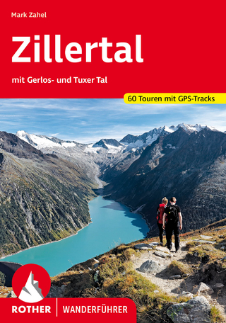
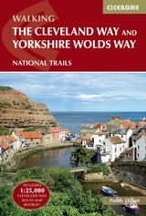
The Cleveland Way and the Yorkshire Wolds Way
Cicerone Press (Verlag)
978-1-78631-221-1 (ISBN)
A guidebook to the Cleveland Way and Yorkshire Wolds Way National Trails and the Tabular Hills Walk. All set within the North York Moors National Park, these straightforward routes can be walked individually in about 1 week or combined to form a long-distance walk of 405km (252 miles) taking 3 weeks.
The Cleveland Way wraps its way around the national park covering 117km (110 miles) between Helmsley and Filey. The route is presented in 9 stages between 15 and 28km (10–17 miles) in length.
Also contains route descriptions of the Yorkshire Wolds Way (130km, 80 miles) and the Tabular Hills Walk (80km, 50 miles)
Contains step-by-step description of the route alongside 1:50,000 OS maps
Includes a separate map booklet containing OS 1:25,000 mapping and route line for the Cleveland Way
The book features a trek planner that highlights information about accommodation, facilities and public transport along the route
GPX files available to download
Paddy Dillon is a prolific walker and guidebook writer, with over 100 guidebooks to his name and contributions to 40 other titles. He has written for several outdoor magazines and other publications and has appeared on radio and television. Paddy is an indefatigable long-distance walker who has walked all of Britain's National Trails and several European trails. He has also walked in Nepal, China, Korea and the Rocky Mountains of Canada and the US. Paddy is a member of the Outdoor Writers and Photographers Guild and President of the Backpackers Club.
CONTENTS
OS map key
Overview map
Introduction
Brief History
Wolds, Moors and Coast
Travel to Yorkshire
Travel around Yorkshire
Accommodation
Food and Drink
Money
Tourist Information Centres
Information Websites
Maps of the Routes
When to Walk
Daily Schedule
Rescue Services
Trail Officer
The Yorkshire Wolds Way National Trail
Day 1 Hessle to South Cave
Day 2 South Cave to Goodmanham or Market Weighton
Day 3 Goodmanham or Market Weighton to Millington
Day 4 Millington to Thixendale
Day 5 Thixendale to Sherburn
Day 6 Sherburn to Filey
Day 7 Filey to Scalby Mills (via the Cleveland Way)
The Tabular Hills Walk
Day 1 Scalby Mills to Levisham
Day 2 Levisham to Hutton-le-Hole
Day 3 Hutton-le-Hole to Helmsley
The Cleveland Way National Trail
Day 1 Helmsley to Sutton Bank
Day 2 Sutton Bank to Osmotherley
Day 3 Osmotherley to Clay Bank
Day 4 Clay Bank to Kildale
Day 5 Kildale to Saltburn-by-the-Sea
Day 6 Saltburn-by-the-Sea to Sandsend
Day 7 Sandsend to Robin Hood's Bay
Day 8 Robin Hood's Bay to Scarborough
Day 9 Scarborough to Filey
Appendices
Appendix 1 Route Summary
Appendix 2 Useful Information
| Erscheinungsdatum | 24.08.2024 |
|---|---|
| Reihe/Serie | Cicerone guidebooks |
| Verlagsort | Kendal |
| Sprache | englisch |
| Maße | 116 x 172 mm |
| Gewicht | 310 g |
| Themenwelt | Sachbuch/Ratgeber ► Sport |
| Reisen ► Reiseführer | |
| Reisen ► Sport- / Aktivreisen ► Europa | |
| ISBN-10 | 1-78631-221-2 / 1786312212 |
| ISBN-13 | 978-1-78631-221-1 / 9781786312211 |
| Zustand | Neuware |
| Haben Sie eine Frage zum Produkt? |
aus dem Bereich