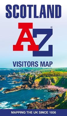
Scotland A-Z Visitors Map
Seiten
2023
Harpercollins (Verlag)
978-0-00-860442-4 (ISBN)
Harpercollins (Verlag)
978-0-00-860442-4 (ISBN)
Explore the whole of Scotland from Dumfries and Galloway in the South to the Orkney Islands in the North. With detailed road mapping and illustrated town plans of major cities, this feature rich, helpful tourist guide is ideal for touring around Scotland.
Published at a clear 8.7 miles to 1 inch scale (5.51 cm to 1 km), this handy map is a detailed and informative exploration of what Scotland has to offer.
Highlights include:
8 inset street maps to major cities and popular destinations, including: Edinburgh, Glasgow, Stirling, and Cairngorms National Park, with detailed descriptions and places of interest
Locations of visitor centres and tourist information sites
Useful key to map symbols making it a clear and easy read
More than 700 places of interest
The perfect map for exploring Scotland whether you are a tourist or a local.
Geographers’ Map Company Ltd. (A-Z Maps) was established in London on 25 August 1936. The company’s most famous publication, the iconic A-Z Atlas and Guide to London, was created by Phyllis Pearsall, the founder of A-Z, who explored every street in London to create the first edition. Since then, A-Z has become the trusted source for street maps and atlases, as well as developing Visitors’ Guides, Road Atlases and the Adventure Map series for walkers.
| Erscheint lt. Verlag | 16.2.2023 |
|---|---|
| Verlagsort | London |
| Sprache | englisch |
| Maße | 115 x 198 mm |
| Gewicht | 60 g |
| Themenwelt | Reisen ► Karten / Stadtpläne / Atlanten ► Europa |
| Reisen ► Karten / Stadtpläne / Atlanten ► Welt / Arktis / Antarktis | |
| ISBN-10 | 0-00-860442-8 / 0008604428 |
| ISBN-13 | 978-0-00-860442-4 / 9780008604424 |
| Zustand | Neuware |
| Haben Sie eine Frage zum Produkt? |
Mehr entdecken
aus dem Bereich
aus dem Bereich
Karte (gefalzt) (2023)
Freytag-Berndt und ARTARIA (Verlag)
12,90 €
Straßen- und Freizeitkarte 1:250.000
Karte (gefalzt) (2023)
Freytag-Berndt und ARTARIA (Verlag)
12,90 €
Östersund
Karte (gefalzt) (2023)
Freytag-Berndt und ARTARIA (Verlag)
12,90 €


