Ireland
2005
|
New edition
Collins (Verlag)
978-0-00-719146-8 (ISBN)
Collins (Verlag)
978-0-00-719146-8 (ISBN)
- Titel ist leider vergriffen;
keine Neuauflage - Artikel merken
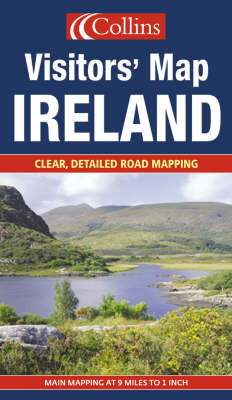
A full-colour route planning map aimed specifically at those who want information on tourist features and golf courses as well as the road network.
9 miles to 1 inch 1:570,240. Full colour route planning map aimed specifically at those who want information on tourist features and golf courses as well as the road network. Updated in 2005. MAIN FEATURES / Clear colourful tourist road map / Golf courses located and indexed / Complete guide to tourist information offices and centres / Town/city centre plans of Belfast, Cork, Dublin & Limerick INCLUDES / Colour classified road network / All major tourist sites and places of interest / Radio stations, airports and ferry information / Full index to place names AREA OF COVERAGE The whole of Ireland. WHO THE PRODUCT IS OF INTEREST TO Ideal for anyone touring by car.
9 miles to 1 inch 1:570,240. Full colour route planning map aimed specifically at those who want information on tourist features and golf courses as well as the road network. Updated in 2005. MAIN FEATURES / Clear colourful tourist road map / Golf courses located and indexed / Complete guide to tourist information offices and centres / Town/city centre plans of Belfast, Cork, Dublin & Limerick INCLUDES / Colour classified road network / All major tourist sites and places of interest / Radio stations, airports and ferry information / Full index to place names AREA OF COVERAGE The whole of Ireland. WHO THE PRODUCT IS OF INTEREST TO Ideal for anyone touring by car.
| Erscheint lt. Verlag | 6.6.2005 |
|---|---|
| Reihe/Serie | Visitors' Map S. |
| Zusatzinfo | With index |
| Verlagsort | London |
| Sprache | englisch |
| Maße | 142 x 245 mm |
| Gewicht | 103 g |
| Themenwelt | Reisen ► Karten / Stadtpläne / Atlanten ► Europa |
| ISBN-10 | 0-00-719146-4 / 0007191464 |
| ISBN-13 | 978-0-00-719146-8 / 9780007191468 |
| Zustand | Neuware |
| Haben Sie eine Frage zum Produkt? |
Mehr entdecken
aus dem Bereich
aus dem Bereich
Straßen- und Freizeitkarte 1:250.000
Karte (gefalzt) (2023)
Freytag-Berndt und ARTARIA (Verlag)
12,90 €
Karte (gefalzt) (2023)
Freytag-Berndt und ARTARIA (Verlag)
12,90 €
Narvik
Karte (gefalzt) (2023)
Freytag-Berndt und ARTARIA (Verlag)
12,90 €


