


Iraq, Kuwait and The Gulf
Paper in Tube
2003
Collins (Verlag)
978-0-00-717026-5 (ISBN)
Collins (Verlag)
978-0-00-717026-5 (ISBN)
- Titel ist leider vergriffen;
keine Neuauflage - Artikel merken
Brand new map of this politically volatile area of the Middle East. Scale 1:2 500 000; 1 cm to 25 km; 1 inch to 40 miles. Map rolled in clear perspex tube.
AREA OF COVERAGE
The map extends from the Iraqi/Turkish border in the north to the United Arab Emirates in the south and from the Mediterranean Sea and Israel in the west to Oman and the Strait of Hormuz in the east, and covers all of Iraq, Kuwait and The Gulf, Syria, Lebanon and Israel.
MAIN FEATURES
An attractive physical map of the region showing roads, railways, cities and towns, rivers lakes and deserts. Highland and lowland is shown by colourful layer colouring
INCLUDES
Inset map of the whole of the Middle East region at a scale of approximately 1:10 000 000
Comprehensive index to all names appearing on the Iraq, Kuwait & The Gulf map. Index uses simple alpha-numeric referencing system. It is printed on the same side of the sheet for ease of use and is therefore ideal for wall mounting.
WHO THE PRODUCT IS AIMED AT
Home and business reference
| Erscheint lt. Verlag | 7.4.2003 |
|---|---|
| Verlagsort | London |
| Sprache | englisch |
| Maße | 945 x 1016 mm |
| Gewicht | 137 g |
| Themenwelt | Reisen ► Karten / Stadtpläne / Atlanten ► Naher Osten |
| Reisen ► Karten / Stadtpläne / Atlanten ► Asien | |
| ISBN-10 | 0-00-717026-2 / 0007170262 |
| ISBN-13 | 978-0-00-717026-5 / 9780007170265 |
| Zustand | Neuware |
| Haben Sie eine Frage zum Produkt? |
Mehr entdecken
aus dem Bereich
aus dem Bereich
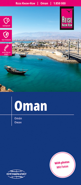
reiß- und wasserfest (world mapping project)
Karte (gefalzt) (2024)
Reise Know-How (Verlag)
14,00 €
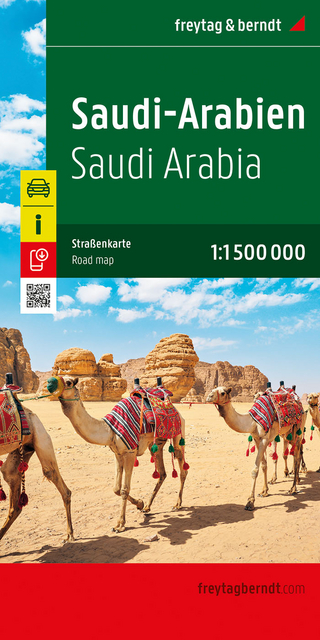
Karte (gefalzt) (2024)
Freytag-Berndt und ARTARIA (Verlag)
12,90 €
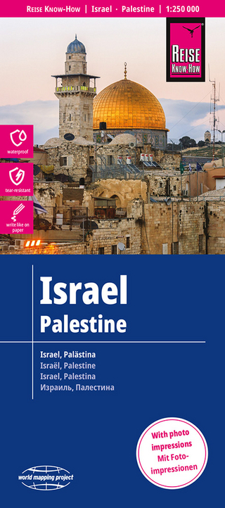
Karte (gefalzt) (2023)
Reise Know-How (Verlag)
12,00 €