California
1996
|
First ed.
New Holland Publishers Ltd (Verlag)
978-1-85368-650-4 (ISBN)
New Holland Publishers Ltd (Verlag)
978-1-85368-650-4 (ISBN)
- Keine Verlagsinformationen verfügbar
- Artikel merken
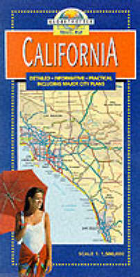
This map of California allows tourists to locate towns, major roads and scenic routes. It also features airports, holiday resorts, parks and nature reserves. City plans of major centres highlight historical monuments, key buildings and other areas of special interest.
This map of California allows tourists to locate towns, major roads and scenic routes. It also features airports, holiday resorts, parks and nature reserves. City plans of major centres highlight historical monuments, key buildings and other areas of special interest such as The Avenue of the Giants, Big Sur Drive, Death Valley National Park, Joshua Tree National Monument, and the Yosemite Natinal Park.
This map of California allows tourists to locate towns, major roads and scenic routes. It also features airports, holiday resorts, parks and nature reserves. City plans of major centres highlight historical monuments, key buildings and other areas of special interest such as The Avenue of the Giants, Big Sur Drive, Death Valley National Park, Joshua Tree National Monument, and the Yosemite Natinal Park.
| Erscheint lt. Verlag | 1.10.1996 |
|---|---|
| Reihe/Serie | Globetrotter Travel Map |
| Zusatzinfo | 15 colour photographs, charts |
| Verlagsort | London |
| Sprache | englisch; französisch; deutsch |
| Maße | 127 x 251 mm |
| Gewicht | 97 g |
| Themenwelt | Reisen ► Karten / Stadtpläne / Atlanten ► Nord- / Mittelamerika |
| ISBN-10 | 1-85368-650-6 / 1853686506 |
| ISBN-13 | 978-1-85368-650-4 / 9781853686504 |
| Zustand | Neuware |
| Haben Sie eine Frage zum Produkt? |