


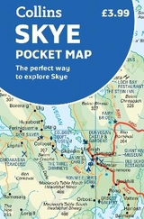
Skye Pocket Map
The Perfect Way to Explore Skye
2018
Collins (Verlag)
978-0-00-828564-7 (ISBN)
Collins (Verlag)
978-0-00-828564-7 (ISBN)
- Titel erscheint in neuer Auflage
- Artikel merken
Zu diesem Artikel existiert eine Nachauflage
Explore new places with handy pocket maps from Collins.
Handy little full colour Collins map of Skye with a high level of detail. Clear mapping of the Isle of Skye showing the road network, ferries and places of interest. Map at a scale of 1:175 000 (3 miles to 1 inch).
Clear, detailed, full colour Collins road mapping is presented in a handy format ideal for the pocket or handbag. It is excellent value and covers the whole of the Isle of Skye.
This map includes:
• Scotland route map
• Caravan and camping sites
• Tourist locations
• Ferry links
• Listing of major places to visit, with additional details for Dunvegan Castle, Old Man of Storr and Loch Coruisk
• Detailed place names index
Explore the world through accurate and up-to-date mapping.
| Erscheint lt. Verlag | 8.3.2018 |
|---|---|
| Zusatzinfo | Index |
| Verlagsort | London |
| Sprache | englisch |
| Maße | 90 x 140 mm |
| Gewicht | 40 g |
| Themenwelt | Reisen ► Karten / Stadtpläne / Atlanten ► Europa |
| Reiseführer ► Europa ► Großbritannien | |
| ISBN-10 | 0-00-828564-0 / 0008285640 |
| ISBN-13 | 978-0-00-828564-7 / 9780008285647 |
| Zustand | Neuware |
| Haben Sie eine Frage zum Produkt? |
Mehr entdecken
aus dem Bereich

aus dem Bereich
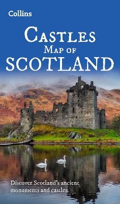
Explore Scotland’s Ancient Monuments
Karte (gefalzt) (2024)
Collins (Verlag)
9,95 €