


Philip's Germany and Netherlands Road Map
Seiten
2017
Philip's (Verlag)
978-1-84907-440-7 (ISBN)
Philip's (Verlag)
978-1-84907-440-7 (ISBN)
- Titel ist leider vergriffen;
keine Neuauflage - Artikel merken
A fully revised new edition of Philip's ultra-clear, double-sided road map covering the whole of Germany and the Netherlands, with a comprehensive index and eight town plans.
PHILIP'S BEST-SELLING RANGE OF BRITISH AND EUROPEAN MAPS
'The clearest and most detailed maps of Europe' David Williams MBE, CEO, Gem Motoring Assist.
- The perfect planning maps for your trip to Germany and the Netherlands
- Scale 16 miles to 1 inch = 1:1,000,000
- Double-sided folded map with full index of place names
- Super-clear mapping
- All major routes shown
- Town plans: Amsterdam, Berlin, Cologne, Dusseldorf, Frankfurt, Hamburg, Munich and Stuttgart
- Scenic routes
- AutoRoute junctions, restricted junctions, toll motorways and pre-pay motorways
- Mountain passes and gradients
- Tourist attractions
Philip's has been at the forefront of creating maps and atlases since 1834. Whether a local street map or a fact-packed World Atlas, we use the most up-to-date technology, expertise and our global network to ensure our customers have all the information they need.
| Erscheinungsdatum | 02.02.2017 |
|---|---|
| Reihe/Serie | Philip's Sheet Maps |
| Verlagsort | London |
| Sprache | englisch |
| Maße | 148 x 249 mm |
| Gewicht | 105 g |
| Themenwelt | Reisen ► Karten / Stadtpläne / Atlanten ► Deutschland |
| Reisen ► Karten / Stadtpläne / Atlanten ► Europa | |
| ISBN-10 | 1-84907-440-2 / 1849074402 |
| ISBN-13 | 978-1-84907-440-7 / 9781849074407 |
| Zustand | Neuware |
| Haben Sie eine Frage zum Produkt? |
Mehr entdecken
aus dem Bereich
aus dem Bereich
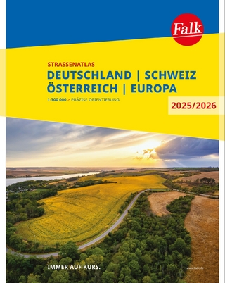
Deutschland, Schweiz, Österreich, Europa
Buch | Spiralbindung (2024)
MAIRDUMONT (Verlag)
14,95 €
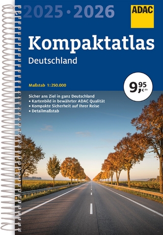
Buch | Spiralbindung (2024)
MAIRDUMONT (Verlag)
9,95 €
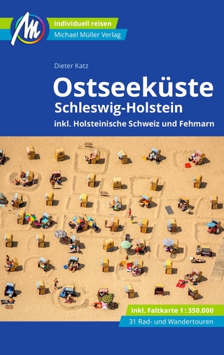
inkl. Holsteinische Schweiz und Fehmarn
Buch | Softcover (2024)
Michael Müller (Verlag)
22,90 €