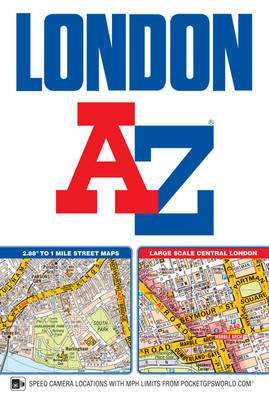
London A-Z Street Atlas (paperback)
Seiten
2017
|
New 12th edition
Geographers' A-Z Map Co Ltd (Verlag)
978-1-78257-132-2 (ISBN)
Geographers' A-Z Map Co Ltd (Verlag)
978-1-78257-132-2 (ISBN)
- Titel erscheint in neuer Auflage
- Artikel merken
Zu diesem Artikel existiert eine Nachauflage
This publication has 155 pages of our standard street mapping at a scale of 2.88 inches to 1 mile.
This A-Z London Street Atlas includes 155 pages of our famous standard street mapping at a scale of 2.88 inches to 1 mile, extending to:
•Barnet
•Chingford
•Dagenham
•Sidcup
•Chislehurst
•Farnborough
•Croydon
•Surbiton
•Shepperton
•Heathrow Airport (Terminals 1-5)
•Ruislip
•Stanmore
A large-scale Central London 16 page street map section at 5.75 inches to 1 mile, extending:
•north to Regent's Park and Shoreditch
•south to Chelsea and Vauxhall
•west to Hyde Park
•east to Bermondsey.
Also included is:
•An overview map of the Congestion Charging Zone
•A West End Theatre map
•The London Connections rail services map
•The full London Underground map
Postcode districts, one-way streets, safety camera locations with maximum speed limits and the Congestion Charging Zone are also featured on the mapping.
A comprehensive index lists streets, selected flats, walkways and places of interest, place, area and junction names. There are additional healthcare (hospitals, walk-in centres and hospices) and transport (National Rail, London Tramlink, Docklands Light Railway, London Underground and Overground stations, and River Bus pier) indexes as covered by this atlas.
Britain’s leading street map publisher providing cartographic services, digital data products and paper mapping publications (including Street Atlases, Visitors Guides, Great Britain Road Atlases and The Adventure Atlas).
| Erscheinungsdatum | 29.11.2016 |
|---|---|
| Sprache | englisch |
| Maße | 130 x 193 mm |
| Gewicht | 480 g |
| Themenwelt | Sachbuch/Ratgeber |
| Reisen ► Karten / Stadtpläne / Atlanten ► Europa | |
| ISBN-10 | 1-78257-132-9 / 1782571329 |
| ISBN-13 | 978-1-78257-132-2 / 9781782571322 |
| Zustand | Neuware |
| Informationen gemäß Produktsicherheitsverordnung (GPSR) | |
| Haben Sie eine Frage zum Produkt? |


