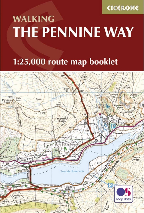
Pennine Way Map Booklet
1:25,000 OS Route Mapping
Seiten
2024
Cicerone Press (Verlag)
978-1-85284-907-8 (ISBN)
Cicerone Press (Verlag)
978-1-85284-907-8 (ISBN)
Map of the 270 miles (435km) Pennine Way National Trail, between Edale in the Peak District and Kirk Yetholm in the Scottish Borders. This booklet is included with the Cicerone guidebook to the trail, and shows the full route on OS 1:25,000 maps. This popular long-distance route typically takes three weeks to complete.
A booklet of all the mapping needed to complete the Pennine Way, England’s toughest National Trail. Suited to fit experienced walkers, the 427km (265 mile) route from Edale to Kirk Yetholm follows northern England’s mountainous spine, passing through three national parks: the Peak District, the Yorkshire Dales and Northumberland.
The full route line is shown on 1:25,000 OS maps
The map booklet can be used to walk the trail in either direction
Sized to easily fit in a jacket pocket
The relevant extract from the OS Explorer map legend is included
An accompanying Cicerone guidebook – The Pennine Way is also available, which includes a copy of this map booklet
Paddy Dillon is a prolific outdoor writer with over 70 guidebooks to his name, and contributions to 30 other publications. He has written for a variety of outdoor magazines, as well as many booklets and brochures for tourism organisations. Paddy lives near the Lake District and has walked in every county in England, Scotland, Ireland and Wales; writing about walks in every one of them. He enjoys simple day walks, challenging long-distance walks, and is a dedicated island-hopper. He has led guided walks and walked extensively in Europe, as well as in Nepal, Tibet, Korea, Africa and the Rocky Mountains of Canada and the United States.
| Erscheinungsdatum | 04.03.2017 |
|---|---|
| Reihe/Serie | Cicerone guidebooks |
| Verlagsort | Kendal |
| Sprache | englisch |
| Maße | 116 x 172 mm |
| Gewicht | 160 g |
| Themenwelt | Sachbuch/Ratgeber ► Sport |
| Reisen ► Karten / Stadtpläne / Atlanten ► Europa | |
| Reiseführer ► Europa ► Großbritannien | |
| Reisen ► Sport- / Aktivreisen | |
| ISBN-10 | 1-85284-907-X / 185284907X |
| ISBN-13 | 978-1-85284-907-8 / 9781852849078 |
| Zustand | Neuware |
| Haben Sie eine Frage zum Produkt? |
Mehr entdecken
aus dem Bereich
aus dem Bereich
individuell reisen mit vielen praktischen Tipps
Buch | Softcover (2024)
Michael Müller (Verlag)
29,90 €
Reiseführer mit Stadtplan, 4 Spaziergängen und kostenloser Web-App
Buch | Softcover (2023)
Reise Know-How (Verlag)
15,95 €


