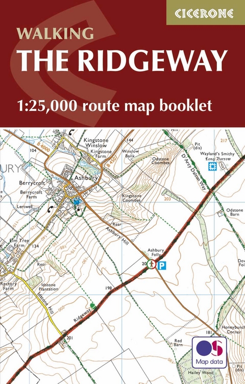
The Ridgeway Map Booklet
Cicerone Press (Verlag)
978-1-85284-935-1 (ISBN)
A booklet of all the mapping needed to complete the Ridgeway National Trail between Avebury in Wiltshire and Ivinghoe Beacon in Buckinghamshire. Covering 139km (87 miles), this mostly low-level route is suitable for all abilities and takes 6 to 9 days to hike.
The full route line is shown on 1:25,000 OS maps
The map booklet can be used to walk the trail in either direction
Sized to easily fit in a jacket pocket
Detours and diversions to nearby historical and archaeological sites are also provided
An accompanying Cicerone guidebook – Walking the Ridgeway – is also available, which includes a copy of this map booklet
The relevant extract from the OS Explorer map legend is included
Steve Davison is a writer and photographer who has lived in Berkshire for over 25 years. He has written a number of books as well as articles for magazines and national and local newspapers, specialising in hill-walking and UK and European travel, and counts nature, geology and the countryside among his particular interests. A keen hill-walker for many years, and a Mountain Leader, Steve has also worked as a part-time outdoor education instructor. He is also a member of the Outdoor Writers and Photographers Guild.
Key to map pages
Stage 1 Overton Hill (Avebury) to Ogbourne St George
Stage 2 Ogbourne St George to Ashbury Folly
Stage 3 Ashbury Folly to the A338 (Wantage/Court Hill Centre)
Stage 4 A338 (Wantage/Court Hill Centre) to Bury Down
Stage 5 Bury Down to Streatley
Stage 6 Streatley to Mongewell Park
Stage 7 Mongewell Park to Watlington
Stage 8 Watlington to Chinnor
Stage 9 Chinnor to Princes Risborough
Stage 10 Princes Risborough to Wendover
Stage 11 Wendover to Wigginton
Stage 12 Wigginton to Ivinghoe Beacon
Extract from OS Explorer map legend
| Erscheinungsdatum | 27.11.2016 |
|---|---|
| Reihe/Serie | Cicerone guidebooks |
| Verlagsort | Kendal |
| Sprache | englisch |
| Maße | 106 x 166 mm |
| Gewicht | 60 g |
| Themenwelt | Sachbuch/Ratgeber ► Sport |
| Reisen ► Karten / Stadtpläne / Atlanten ► Europa | |
| Reiseführer ► Europa ► Großbritannien | |
| ISBN-10 | 1-85284-935-5 / 1852849355 |
| ISBN-13 | 978-1-85284-935-1 / 9781852849351 |
| Zustand | Neuware |
| Informationen gemäß Produktsicherheitsverordnung (GPSR) | |
| Haben Sie eine Frage zum Produkt? |
aus dem Bereich


