


Indian Subcontinent
1999
|
New edition
Collins (Verlag)
978-0-00-448764-9 (ISBN)
Collins (Verlag)
978-0-00-448764-9 (ISBN)
- Titel erscheint in neuer Auflage
- Artikel merken
Zu diesem Artikel existiert eine Nachauflage
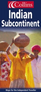
Published under the Collins imprint for the first time (previously published under Bartholomew imprint). Scale 1 : 4 000 000 1 cm to 40 km 1 inch to 63 miles
MAIN FEATURES
Physical map with layer coloured relief and including roads, railways, cities and towns.
INCLUDES
All of India, Pakistan, Bangladesh, Sri Lanka, Nepal and Bhutan, with an inset map of the Andaman and Nicobar Islands. Large scale maps of Delhi, Calcutta, Karachi, Bombay and Madras.
AREA OF COVERAGE
From the Himalayas in the north to Sri Lanka in the south, and from Afghanistan in the west to Myanmar (Burma) in the east.
WHO THE PRODUCT IS AIMED AT
Armchair traveller and for general reference
OTHER PRODUCTS IN THE SERIES
Asia
South-East Asia
Thailand
A range of individual country and country group maps and continent maps.
| Erscheint lt. Verlag | 7.6.1999 |
|---|---|
| Reihe/Serie | World Travel Map |
| Verlagsort | London |
| Sprache | englisch |
| Maße | 775 x 1015 mm |
| Gewicht | 118 g |
| Themenwelt | Reisen ► Karten / Stadtpläne / Atlanten ► Asien |
| ISBN-10 | 0-00-448764-8 / 0004487648 |
| ISBN-13 | 978-0-00-448764-9 / 9780004487649 |
| Zustand | Neuware |
| Haben Sie eine Frage zum Produkt? |
Mehr entdecken
aus dem Bereich
aus dem Bereich
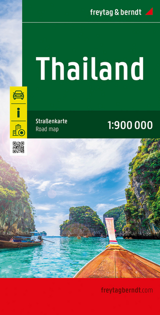
Karte (gefalzt) (2024)
Freytag-Berndt und ARTARIA (Verlag)
12,90 €
reiß- und wasserfest (world mapping project)
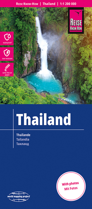
Karte (gefalzt) (2024)
Reise Know-How (Verlag)
12,00 €
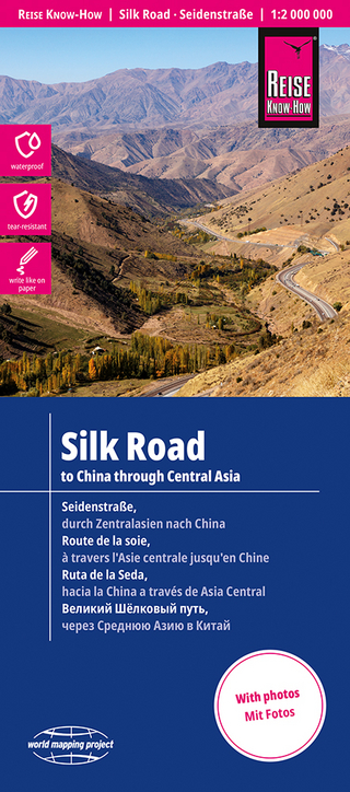
Karte (gefalzt) (2024)
Reise Know-How (Verlag)
14,00 €