


Nantes & surrounding areas - Zoom Map 128
Map
Seiten
2017
|
2nd edition
Michelin Editions des Voyages (Verlag)
978-2-06-721202-2 (ISBN)
Michelin Editions des Voyages (Verlag)
978-2-06-721202-2 (ISBN)
- Titel ist leider vergriffen;
keine Neuauflage - Artikel merken
Michelin's Zoom collection are characterized by the high precision of their detailed scale, specially adapted for very touristy areas or with a high density road network, including new developments and industrial areas. Scales from 1:53,000 to 1:1,267,200
(Edition updated in 2019) The MICHELIN zoom map Nantes & surrounding areas is the ideal travel companion to fully explore this French tourist destination thanks to its easy-to-use format and its scale of 1/150,000. The map covers the areas and cities of annes, St-Nazaire, Angers, Nanates, La Rouche-S-Yon
The Zoom collection are characterized by the high precision of their detailed scale, specially adapted for very touristy areas or with a high density road network, including new developments and industrial areas. In addition to clarity, reliability and up-to-date information, all Michelin cartography features include a wealth of practical information: places and monuments of tourist interest, picturesque tours, areas for sports and leisure activities ... Useful plans of cities and a practical index of localities. Also the maps contain places of interest and signposting of tracks for bicycles and green-ways.
MICHELIN ZOOM MAPS are perfect to discover major tourist areas, with a high level of details in an easy to use format.
They nicely complement our Michelin Guides and include:
* Various leisure activities, such as water parks, tourist trains, horse racing, etc
* Scenic routes and tourist sights crossed referenced with the famous Michelin's Green Guides
* Camping sites information from Michelin's Camping Guides
* Hotel information from the world famous MICHELIN Guides
| Erscheint lt. Verlag | 8.7.2017 |
|---|---|
| Reihe/Serie | Michelin Zoom Maps |
| Verlagsort | Paris |
| Sprache | englisch |
| Maße | 113 x 250 mm |
| Gewicht | 118 g |
| Themenwelt | Reisen ► Karten / Stadtpläne / Atlanten ► Europa |
| Reiseführer ► Europa ► Frankreich | |
| ISBN-10 | 2-06-721202-8 / 2067212028 |
| ISBN-13 | 978-2-06-721202-2 / 9782067212022 |
| Zustand | Neuware |
| Haben Sie eine Frage zum Produkt? |
Mehr entdecken
aus dem Bereich
aus dem Bereich
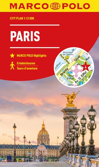
Cityplan : Marco Polo highlights, tours d'aventure
Karte/Kartografie (2023)
MAIRDUMONT (Verlag)
8,50 €
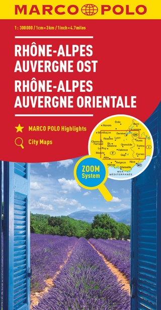
Karte/Kartografie (2022)
MAIRDUMONT (Verlag)
9,95 €
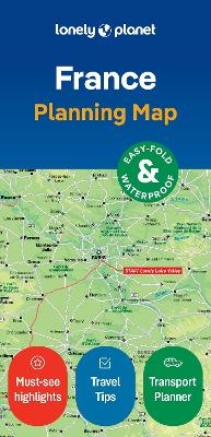
Karte (gefalzt) (2024)
Lonely Planet Global Limited (Verlag)
7,45 €