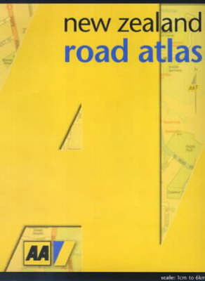
New Zealand Road Atlas
Seiten
2003
|
Revised edition
Hodder Education (Verlag)
978-1-86958-890-8 (ISBN)
Hodder Education (Verlag)
978-1-86958-890-8 (ISBN)
- Titel ist leider vergriffen;
keine Neuauflage - Artikel merken
The AA Road Atlas features main highways, secondary roads, unsealed roads, distances, airports, motor camps, golf courses, ski fields, picnic areas, thermal areas, historic buildings, national parks, mountains, rivers, and hospitals. This edition features up-dated and improved mapping.
The AA Road Atlas features main highways, secondary roads, unsealed roads, distances, airports, motor camps, golf courses, ski fields, picnic areas, thermal areas, historic buildings, national parks, mountains, rivers, hospitals, police, toilets and information offices. It also includes distance and time charts, a detailed place name index and a guide to New Zealand rules and conditions. This edition features up-dated and improved mapping.
The AA Road Atlas features main highways, secondary roads, unsealed roads, distances, airports, motor camps, golf courses, ski fields, picnic areas, thermal areas, historic buildings, national parks, mountains, rivers, hospitals, police, toilets and information offices. It also includes distance and time charts, a detailed place name index and a guide to New Zealand rules and conditions. This edition features up-dated and improved mapping.
The AA is synonymous with reliability and safe motoring in New Zealand. It was responsible for publishing the first road map in 1924 and now uses its advanced mapping expertise to provide a new range of maps and atlases.
| Zusatzinfo | colour maps, index, charts |
|---|---|
| Verlagsort | Auckland |
| Sprache | englisch |
| Maße | 212 x 284 mm |
| Gewicht | 285 g |
| Themenwelt | Reisen ► Karten / Stadtpläne / Atlanten ► Australien / Neuseeland / Ozeanien |
| ISBN-10 | 1-86958-890-8 / 1869588908 |
| ISBN-13 | 978-1-86958-890-8 / 9781869588908 |
| Zustand | Neuware |
| Informationen gemäß Produktsicherheitsverordnung (GPSR) | |
| Haben Sie eine Frage zum Produkt? |
Mehr entdecken
aus dem Bereich
aus dem Bereich
Unser Planet in Karten, Fakten und Bildern
Buch | Hardcover (2021)
Bibliographisches Institut (Verlag)
59,00 €
Australien in übersichtlichen Karten mit Spiralbindung, …
Buch | Softcover (2020)
Hallwag (Verlag)
24,95 €


